


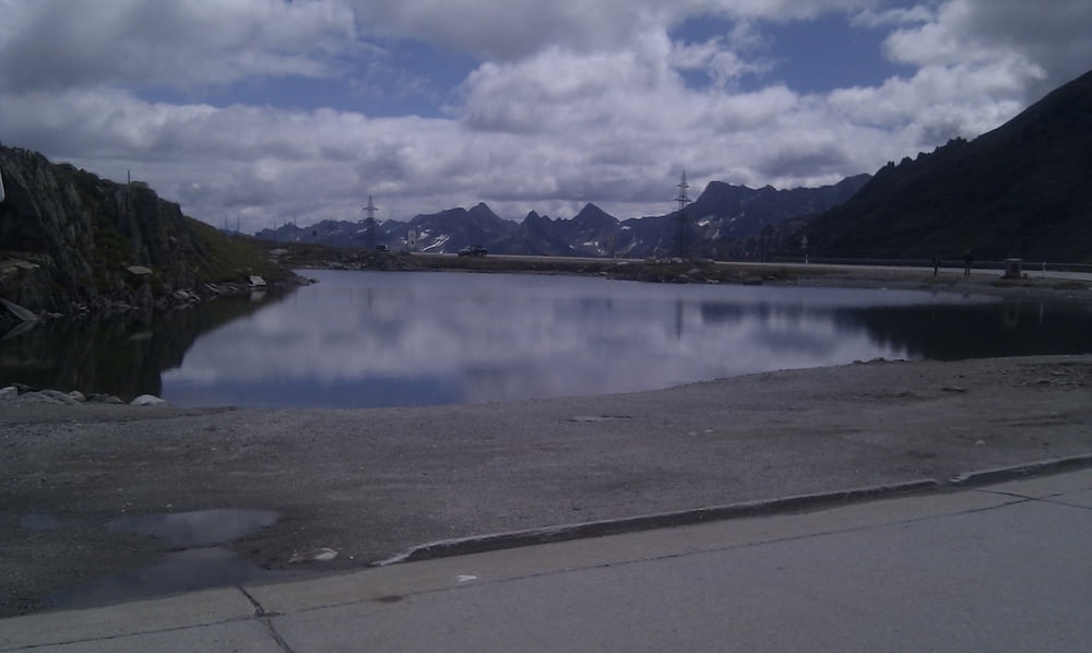
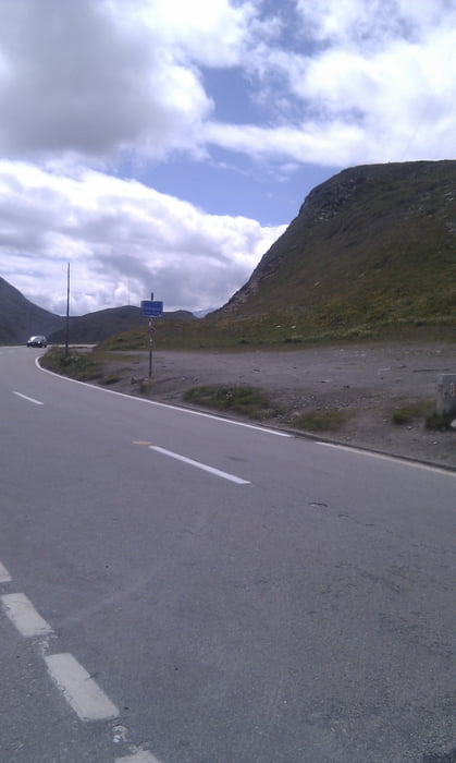
Es geht von Andermatt zuerst auf den Gotthardpass, danach hinunter nach Airolo. Als zweiter Pass wird der Nufenenpass absolviert. Nach dem Nufenenpass geht es hinunter nach Ulrichen und von da zum Furkapass. Zum Schluss fährt man den Furkapass nach Realp hinunter und von da nach Andermatt.
Beim Gotthardpass wurde jeweils die neue Strasse gewählt. Es ist empfehlenswert die alte Passtrasse (Tremola) zu befahren. Dort hat man weniger Autoverkehr und die Pflastersteine sind eine interessante Herausforderung
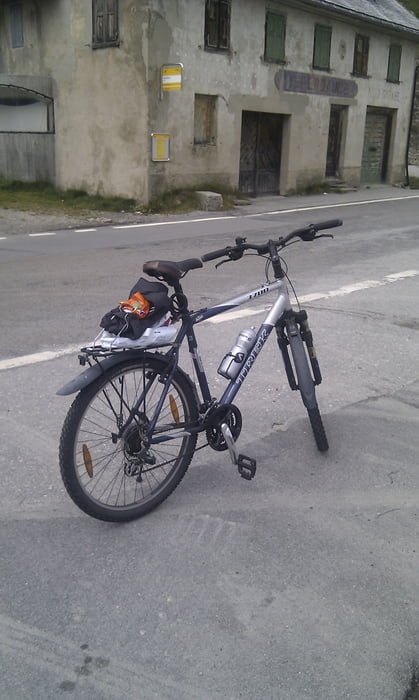
Die Tour wurde mit einem Mountainbike absolviert. Allerdings ist die Tour für ein Rennrad geeigneter, da man mit Ausnahme von kleinen Pflastersteinabschnitten beim Gotthardpass immer auf gut ausgebauten Strassen fährt.
Further information at
http://www.andermatt.chTour gallery
Tour map and elevation profile
Minimum height 1157 m
Maximum height 2488 m
More about the tour author

|
Soibat |
Comments

Man kommt mit dem öffentlichen Verkehr (der Bahn) nach Andermatt. Von dort beginnt und endet die Tour.
Falls man nach dem Gotthardpass genug hat kann man von Airolo aus mit der Bahn zurück nach Andermatt.
Auch nach dem Nufenenpass gibt es Möglichkeiten (zum Beispiel in Ulrichen) mit der Bahn nach Andermatt zu gelangen.
GPS tracks
Trackpoints-
GPX / Garmin Map Source (gpx) download
-
TCX / Garmin Training Center® (tcx) download
-
CRS / Garmin Training Center® (crs) download
-
Google Earth (kml) download
-
G7ToWin (g7t) download
-
TTQV (trk) download
-
Overlay (ovl) download
-
Fugawi (txt) download
-
Kompass (DAV) Track (tk) download
-
Track data sheet (pdf) download
-
Original file of the author (gpx) download
More about the tour author
|
|
Soibat |
Add to my favorites
Remove from my favorites
Edit tags
Open track
My score
Rate