Login

Forgotten password?

Cookies have to be accepted!
Your browser's cookie functionality is disabled. Please enable this functionality.

Not a member yet?

Register now
Login

Available for registred users only

Log in to use this feature.

Forgotten password?

Cookies have to be accepted!
Your browser's cookie functionality is disabled. Please enable this functionality.

Not a member yet?

Register now
Filter
Categories
Advanced filters
  • Distance (km)
  • Height
Save filters Reset filter

TrackRank

QRCode

Technical data

Distance2,7 km Height110 m Way down102 m Duration01:00 h:m Date05.08.2011
Scores Author Landscape Fun factor Fitness Technique

Statistics

394 Views Scores 64 Downloads Average
Rate
  • Track data sheet
  • Directions
  • Downloads
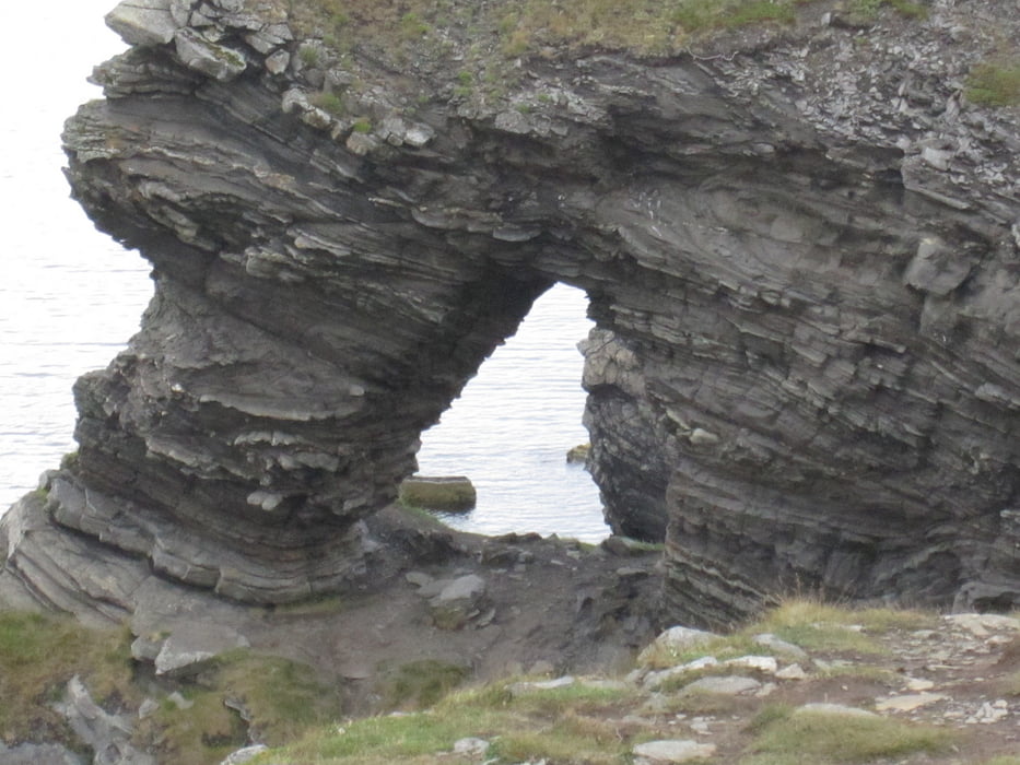
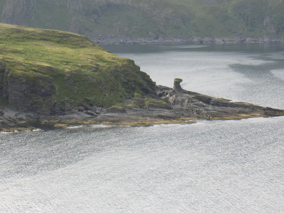
Vom Fischerdorf Skarsvag führt der Weg über einen kleinen Berg mit herrlicher Aussicht auf das Nordkap, sofern die Sicht gut ist, zu der Felsformation "Kirkeporten" (Kirchenportal) in der Nachbarbucht.

Tour gallery

Tour map and elevation profile

  • Open Street Map
  • Google
Minimum height 7 m Maximum height 105 m Detailed view

More about the tour author

Radegundis
Member since 2009

Send private message

Comments

Auf der Fahrt zum Norkap E69 führt der letzte Abzweig auf der Fv171 nach rechts in das Fischerdorf Skarsvag.

GPS tracks

Trackpoints
  • GPX / Garmin Map Source (gpx) download
  • TCX / Garmin Training Center® (tcx) download
  • CRS / Garmin Training Center® (crs) download
  • Google Earth (kml) download
  • G7ToWin (g7t) download
  • TTQV (trk) download
  • Overlay (ovl) download
  • Fugawi (txt) download
  • Kompass (DAV) Track (tk) download
  • Track data sheet (pdf) download
  • Original file of the author (gpx) download

More about the tour author

Radegundis
Member since 2009

Send private message
Share track
Add to my favorites
Remove from my favorites
Edit tags
My score
Rate
Track: Skarsvag
Type: Hiking
Distance: 2,7 km
Evaluated on:
Duration:
Day(s)
Hour(s)
Minute(s)
Score: Landscape Fun factor Fitness Technique