


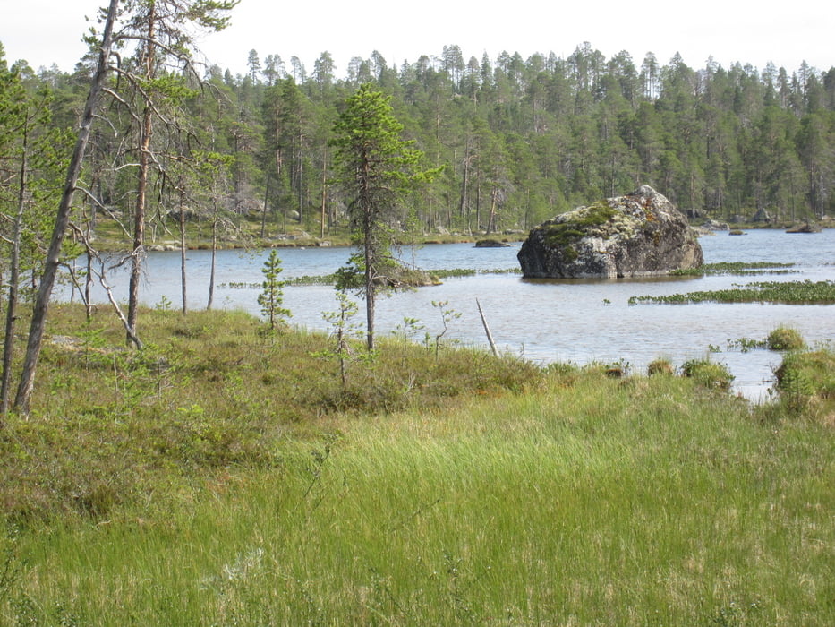
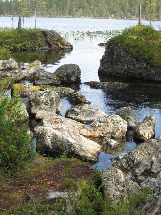
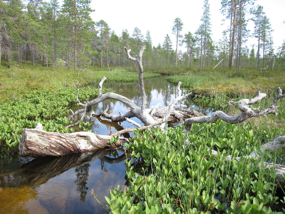
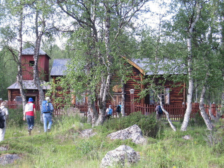
Ein schmaler Weg führt durch abwechslungsreiche Landschaft zu der 4,5 km entfernt gelegenen Wildniskirche. Da der Weg sehr steinig und je nach Witterung auch nass ist, wird gutes Schuhwerk empfohlen.
Die Picknickplätze laden mit ihrer hervorragenden Aussicht zum Verweilen ein.
Tour gallery
Tour map and elevation profile
Minimum height 90 m
Maximum height 157 m
More about the tour author

|
Radegundis |
Comments

Von Inari aus führt die E 75 Richtung Norden zum Samenmuseum Siida (sehr empfehlenswert!). Kurz dhinter biegt eine kleine Nebenstraße Richtung Nordosten ab. Ca. 2 km bis zum Parkplatz. Infotafel
GPS tracks
Trackpoints-
GPX / Garmin Map Source (gpx) download
-
TCX / Garmin Training Center® (tcx) download
-
CRS / Garmin Training Center® (crs) download
-
Google Earth (kml) download
-
G7ToWin (g7t) download
-
TTQV (trk) download
-
Overlay (ovl) download
-
Fugawi (txt) download
-
Kompass (DAV) Track (tk) download
-
Track data sheet (pdf) download
-
Original file of the author (gpx) download
More about the tour author
|
|
Radegundis |
Add to my favorites
Remove from my favorites
Edit tags
Open track
My score
Rate