


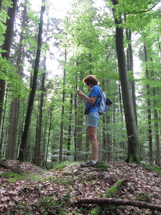
Beim kleinen Dorf Hairenbuch unweit von Krumbach (Schwaben) befand sich im Mittelalter eine Burg, die 1177 durch ein Erdbeben zerstört wurde. Nur noch wenig ist aus dieser Zeit sichtbar. Eine Wanderung entlang des Bächleins Gutnach zum Burghügel ist aber eine spannende und landschaftlich lohnende Unternehmung, die teilweise durch tiefen Wald führt. Am Wegesrand gibt es auch Hügelgräber aus der Hallstattzeit (um 500 vor Christus) zu bewundern. Und furchterregende Geister wie der "Bilmesschneider" mit seiner blinkenden Sichel sollen hier auch noch herumspuken.
Tour gallery
Tour map and elevation profile
Minimum height 508 m
Maximum height 589 m
More about the tour author
|
|
ulipele |
Comments

Von Krumbach auf der B 300 Richtung Ebershausen, dann kurz vor dem Ort links, bis nach wenigen Metern ein kleiner Parkplatz an der Gutnach erreicht wird.
GPS tracks
Trackpoints-
GPX / Garmin Map Source (gpx) download
-
TCX / Garmin Training Center® (tcx) download
-
CRS / Garmin Training Center® (crs) download
-
Google Earth (kml) download
-
G7ToWin (g7t) download
-
TTQV (trk) download
-
Overlay (ovl) download
-
Fugawi (txt) download
-
Kompass (DAV) Track (tk) download
-
Track data sheet (pdf) download
-
Original file of the author (gpx) download
More about the tour author
|
|
ulipele |
Add to my favorites
Remove from my favorites
Edit tags
Open track
My score
Rate