


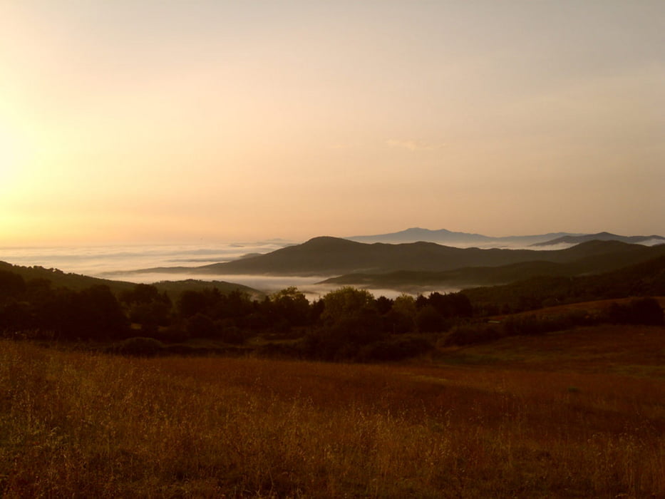
Die Asfaltstraße direkt vor dem Hotel Prategiano führt bergauf bis zum Picknickpark „Parco al Piano“. Biegen Sie dort links ab und folgen Sie der Waldstraße immer rechts bergauf bis zu einem traumhaften Panoramablick. Dort finden Sie links einen 2spurigen Weg steil bergab. Folgen Sie diesem Weg bergab. Er biegt danach nach rechts, zweit wieder recht ab (nicht links Richtung Weide) und führt rechts entlang eines neu errichteten Zauns.
Am Ende des Zauns geht ein engerer Weg im Wald leicht bergab. Biegen Sie rechts ab, sobald Sie an eine Schotterstraße kommen. Der erste zweispurige Weg rechts bergauf führt zum Haus „Folavento“. Von dort führt ein Trail zum beschilderten Weg 14 (rechts abbiegen), der Sie zurück zum Ausgangspunkt bringt. Am Ende dieser schönen Toskana Wanderung kommen Sie an den Ausgrabungen einer ehemaligen Kirchengemeinde im Besitz des Bischofs von Volterra vorbei, die im Mittelalter eine ertragreiche Silbermiene bewirtschaftet hat.
Further information at
http://www.hotel-toscana-tuscany.com/toskana_wandern.htmlTour gallery
Tour map and elevation profile
Minimum height 710 m
Maximum height 1022 m
More about the tour author

|
Rena |
Comments

Ausgangspunkt Hotel Prategiano in Montieri
GPS tracks
Trackpoints-
GPX / Garmin Map Source (gpx) download
-
TCX / Garmin Training Center® (tcx) download
-
CRS / Garmin Training Center® (crs) download
-
Google Earth (kml) download
-
G7ToWin (g7t) download
-
TTQV (trk) download
-
Overlay (ovl) download
-
Fugawi (txt) download
-
Kompass (DAV) Track (tk) download
-
Track data sheet (pdf) download
-
Original file of the author (gpx) download
More about the tour author
|
|
Rena |
Add to my favorites
Remove from my favorites
Edit tags
Open track
My score
Rate