Login

Forgotten password?

Cookies have to be accepted!
Your browser's cookie functionality is disabled. Please enable this functionality.

Not a member yet?

Register now
Login

Available for registred users only

Log in to use this feature.

Forgotten password?

Cookies have to be accepted!
Your browser's cookie functionality is disabled. Please enable this functionality.

Not a member yet?

Register now
Filter
Categories
Advanced filters
  • Distance (km)
  • Height
Save filters Reset filter

TrackRank

QRCode

Technical data

Distance5,7 km Height79 m Way down58 m Duration02:00 h:m Date20.08.2011
Scores Author Landscape Fun factor Fitness Technique

Statistics

802 Views Scores 32 Downloads Average
Rate
  • Track data sheet
  • Directions
  • Downloads
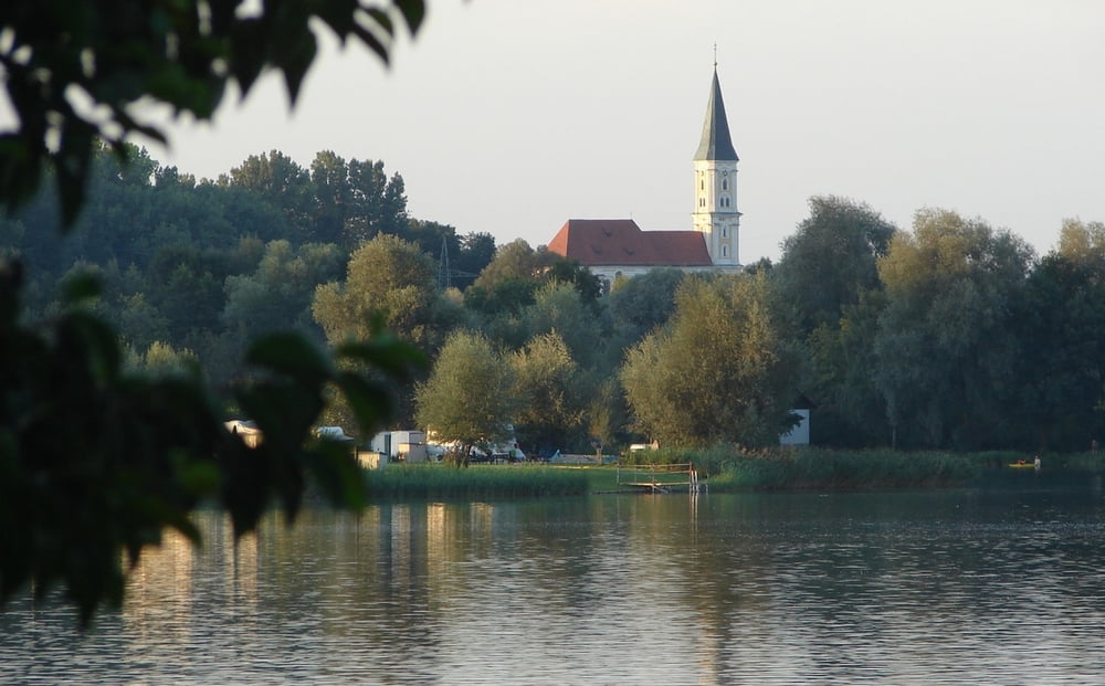
Wandern bei Sonnenuntergang um "den" Badeweiher Mittelschwabens, ein ganz besonderes Erlebnis und Baden kann man obendrein. Insbesondere auch für Familien mit Kindern ein großes Vergnügen.

Tour gallery

Tour map and elevation profile

  • Open Street Map
  • Google
Minimum height 501 m Maximum height 546 m Detailed view

More about the tour author

ulipele
Member since 2011

Send private message

Comments

Von Krumbach auf der B 300 bis kurz vor Ebershausen, hier rechts bis Seifertshofen. Dort beginnt in der Kurve die Tour.

GPS tracks

Trackpoints
  • GPX / Garmin Map Source (gpx) download
  • TCX / Garmin Training Center® (tcx) download
  • CRS / Garmin Training Center® (crs) download
  • Google Earth (kml) download
  • G7ToWin (g7t) download
  • TTQV (trk) download
  • Overlay (ovl) download
  • Fugawi (txt) download
  • Kompass (DAV) Track (tk) download
  • Track data sheet (pdf) download
  • Original file of the author (gpx) download

More about the tour author

ulipele
Member since 2011

Send private message
Share track
Add to my favorites
Remove from my favorites
Edit tags
My score
Rate
Track: Wandernanders Oberrieder Weiher Kreis Günzburg Raum Krumbach Schwaben Sonnenuntergang Mittelschwäbische Nachrichten Augsburger Allgemeine
Type: Hiking
Distance: 5,7 km
Evaluated on:
Duration:
Day(s)
Hour(s)
Minute(s)
Score: Landscape Fun factor Fitness Technique