


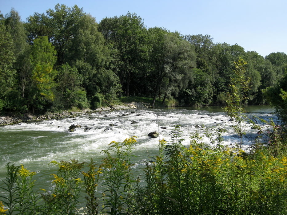
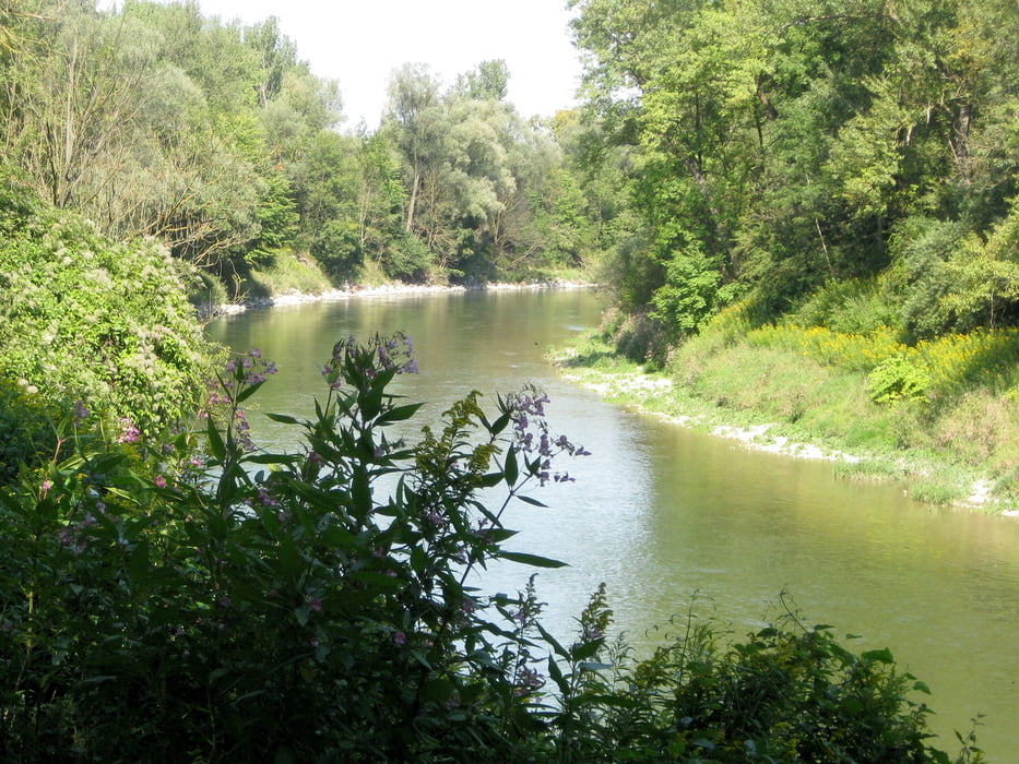
Vom S-Bahnhof in Ismaning radeln wir nordwärts in die Steinheilstraße, dann über die Osterfeldstraße in die Fraunhoferstraße, Oskar-Meesters-Straße, Max-von-Eyth-Straße und weiter in die Freisinger Straße. Wir kreuzen die B471 und fahren parallel zur B471 über die Isar. Gleich nach der Brücke geht´s rechts hinein in die Isarauen. Für fast 20 Kilometer folgen wir nun einem schattigen, gut ausgebauten Weg entlang der Isar. Ohne größere Steigungen kommen wir bis nach Freising. Hier verlassen wir die Isarauen, queren einen großen Parkplatz und sind schon an unserem Ziel, dem S-Bahnhof Freising.
Tour gallery
Tour map and elevation profile
Minimum height 440 m
Maximum height 505 m
More about the tour author

|
frank_guenther |
Comments

Startpunkt der Radltour ist der S-Bahnhof in Ismaning
GPS tracks
Trackpoints-
GPX / Garmin Map Source (gpx) download
-
TCX / Garmin Training Center® (tcx) download
-
CRS / Garmin Training Center® (crs) download
-
Google Earth (kml) download
-
G7ToWin (g7t) download
-
TTQV (trk) download
-
Overlay (ovl) download
-
Fugawi (txt) download
-
Kompass (DAV) Track (tk) download
-
Track data sheet (pdf) download
-
Original file of the author (gpx) download
More about the tour author
|
|
frank_guenther |
Add to my favorites
Remove from my favorites
Edit tags
Open track
My score
Rate