Login

Forgotten password?

Cookies have to be accepted!
Your browser's cookie functionality is disabled. Please enable this functionality.

Not a member yet?

Register now
Login

Available for registred users only

Log in to use this feature.

Forgotten password?

Cookies have to be accepted!
Your browser's cookie functionality is disabled. Please enable this functionality.

Not a member yet?

Register now
Filter
Categories
Advanced filters
  • Distance (km)
  • Height
Save filters Reset filter

TrackRank

QRCode

Technical data

Distance53,1 km Height1951 m Way down1910 m Duration07:00 h:m Date22.08.2011
Scores Author Landscape Fun factor Fitness Technique

Statistics

483 Views Scores 40 Downloads Average
Rate
  • Track data sheet
  • Directions
  • Downloads

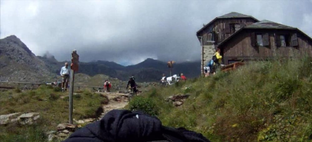
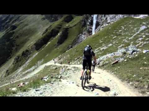
5. Etappe Alpencross:

Auffahrt aus dem Ultental zum Rabbijoch. Sehr schöne und lange Abfahrt nach Malé und 2. Uphill hoch nach Madonna di Campiglio.


http://vimeo.com/33415703

Further information at

http://www.vimeo.com/33415703

Tour gallery

Tour map and elevation profile

  • Open Street Map
  • Google
Minimum height 736 m Maximum height 2453 m Detailed view

More about the tour author

Robert82
Member since 2008

Send private message

Comments

Per Bike :-D

GPS tracks

Trackpoints
  • GPX / Garmin Map Source (gpx) download
  • TCX / Garmin Training Center® (tcx) download
  • CRS / Garmin Training Center® (crs) download
  • Google Earth (kml) download
  • G7ToWin (g7t) download
  • TTQV (trk) download
  • Overlay (ovl) download
  • Fugawi (txt) download
  • Kompass (DAV) Track (tk) download
  • Track data sheet (pdf) download
  • Original file of the author (gpx) download

More about the tour author

Robert82
Member since 2008

Send private message
Share track
Add to my favorites
Remove from my favorites
Edit tags
My score
Rate
Track: Transalp 2011 St. Gertraud - Madonna di Campiglio
Type: Transalp
Distance: 53,1 km
Evaluated on:
Duration:
Day(s)
Hour(s)
Minute(s)
Score: Landscape Fun factor Fitness Technique