
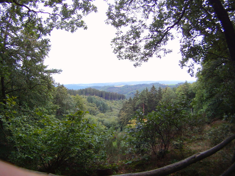

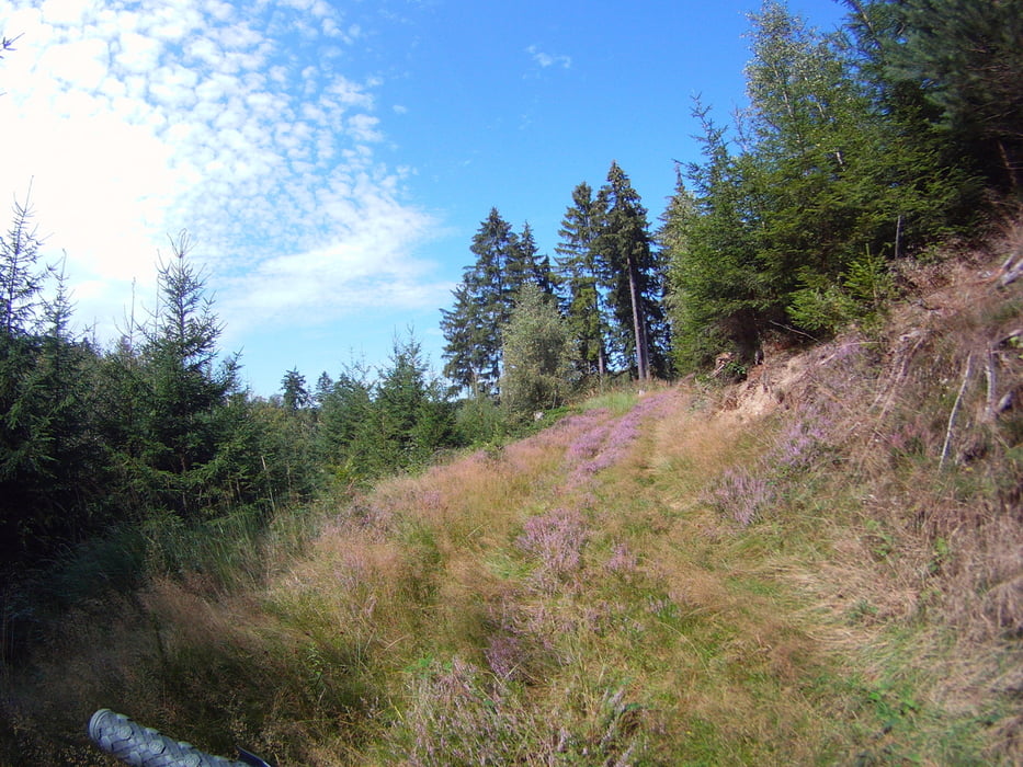
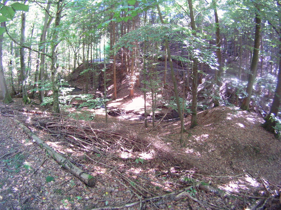
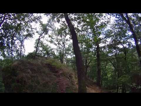
Es handelt sich um ein update meiner Tour 56606: Westerwald, Rund um das Fockenbachtal, wo bei ich die Streckenführung etwas verändert habe und noch mehr Höhenmeter eingebaut habe. Es ist von allem was dabei was man sich beim Mountainbiken sich wünscht. Eine kleine Vorschau habe ich in einem kleinen Helmkamara Film festgehalten. Wenn es vorher geregnet hat ist es teilweise mit Matsch zu rechnen.
Viel spass beim nachfahren
Further information at
http://de.wikipedia.org/wiki/FockenbachtalTour gallery
Tour map and elevation profile
Minimum height 118 m
Maximum height 402 m
More about the tour author
|
|
Wollibalou |
Comments

Autobahn A3, Abfahrt Neuwied Altenkirchen Richtung Strassenhaus, an der Ampel in die Niederhonnefelder Strasse und nach ca 300 m habt Ihr den Startpunkt erreicht.
GPS tracks
Trackpoints-
GPX / Garmin Map Source (gpx) download
-
TCX / Garmin Training Center® (tcx) download
-
CRS / Garmin Training Center® (crs) download
-
Google Earth (kml) download
-
G7ToWin (g7t) download
-
TTQV (trk) download
-
Overlay (ovl) download
-
Fugawi (txt) download
-
Kompass (DAV) Track (tk) download
-
Track data sheet (pdf) download
-
Original file of the author (gpx) download
More about the tour author
|
|
Wollibalou |
Add to my favorites
Remove from my favorites
Edit tags
Open track
My score
Rate