

Start vom Parkplatz des Strandbads am Goggausee.
Auf der Straße bis Niederwinklern zum einrollen. Dort am Gasthof links auf Splitsträßchen. Dieses führt mit gleichmäßiger Steigung durch den Wald bis Grai. Dort erste Ausblicke ins Tal. Bei der Ansiedlung Lavesen hat man eine wunderschöne Aussicht zu den Karawanken. Von Simonhöhe bis Hoch St. Paul (Einkehrmöglichkeit) schöne Panoramastrecke. Weiter über Wegscheide nach Steinbichl. Dort links hinunter in liebliche Wimitztal und leicht berauf zurück zum Goggausee. Dort lädt das gemütliche Strandbad zum verweilen ein.
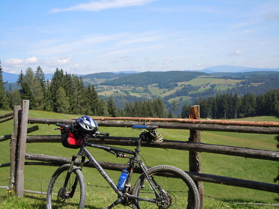
Bin im August 2013 mal in die andere Richtung gefahren und muss sagen so ist die Runde noch besser! Man kann die Aussicht beim hochfahren viel besser geniessen.
Tour map and elevation profile
Minimum height 754 m
Maximum height 1225 m
More about the tour author

|
Spindi |
Comments

Anfahrt über Feldkirchen B93. kurz nach Ortsende rechts Richtung Goggausee.
GPS tracks
Trackpoints-
GPX / Garmin Map Source (gpx) download
-
TCX / Garmin Training Center® (tcx) download
-
CRS / Garmin Training Center® (crs) download
-
Google Earth (kml) download
-
G7ToWin (g7t) download
-
TTQV (trk) download
-
Overlay (ovl) download
-
Fugawi (txt) download
-
Kompass (DAV) Track (tk) download
-
Track data sheet (pdf) download
-
Original file of the author (gpx) download
More about the tour author
|
|
Spindi |
Add to my favorites
Remove from my favorites
Edit tags
Open track
My score
Rate