


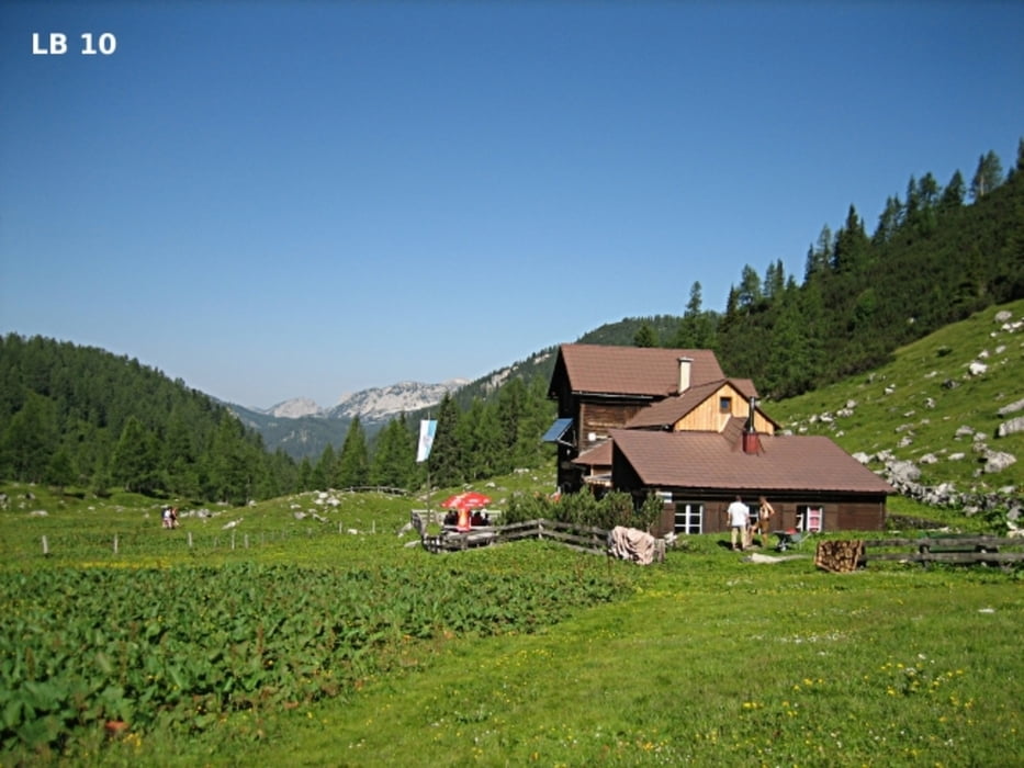
Der erste Tag beginnt mit der Wanderung zur Hochmölbinghütte. Parken kannst du in der Nähe des Berghotels Panoramablick auf 1050m, oder 700m weiter über eine Schotterstraße kurz vor Schönmoos auf 1.130m (Platz für ca. 40 Autos). Die Anfahrt zu den beiden Parkplätzen erfolgt über die asphaltierte Bergstraße die im östlichen Ortsteil von Wörschach beginnt.
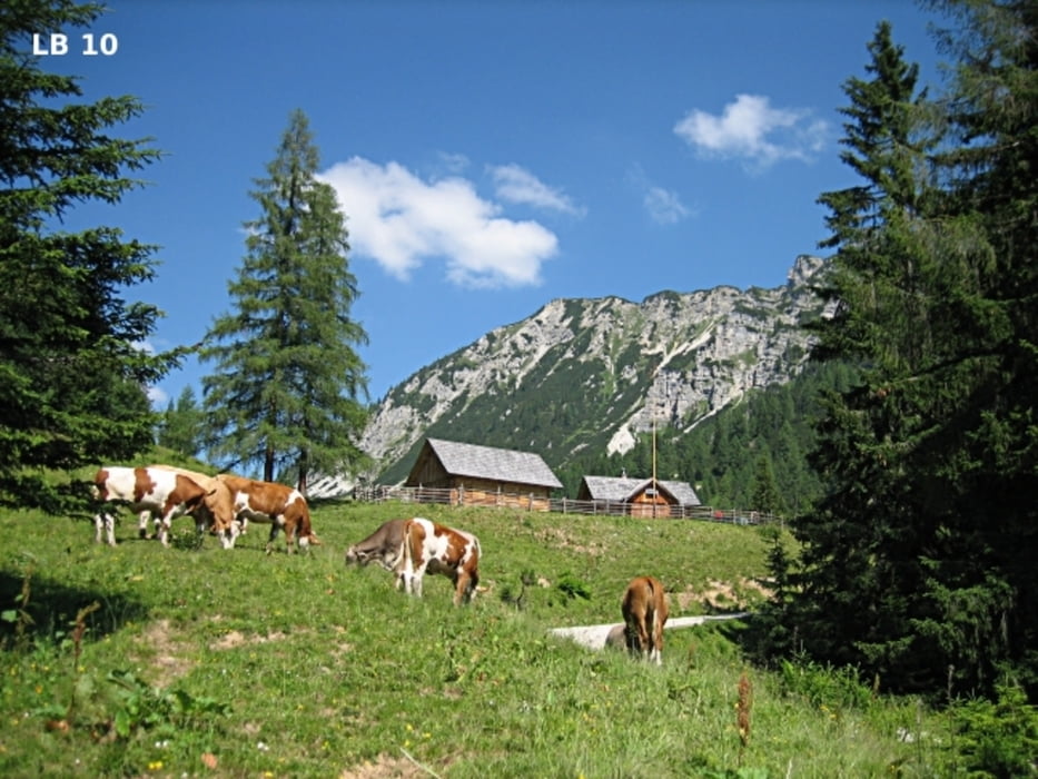
Auf den ersten 5,5 Kilometer wanderst du gemütlich nordöstlich vom Hochtausing und an der nicht bewirtschafteten Langpoltenalm vorbei hinauf zum Langpoltnerklamml 1.580m. Dieser Abschnitt besteht abwechselnd aus Wanderweg und Schotterstraße. Besonders beeindruckend ist dabei der Blick bei der Langpoltenalm auf den Hochtausing.
mehr Infos und Fotos auf biketours4you.at
Tour gallery
Tour map and elevation profile
Minimum height 1045 m
Maximum height 1764 m
More about the tour author
|
|
Trek1400d |
Comments

GPS tracks
Trackpoints-
GPX / Garmin Map Source (gpx) download
-
TCX / Garmin Training Center® (tcx) download
-
CRS / Garmin Training Center® (crs) download
-
Google Earth (kml) download
-
G7ToWin (g7t) download
-
TTQV (trk) download
-
Overlay (ovl) download
-
Fugawi (txt) download
-
Kompass (DAV) Track (tk) download
-
Track data sheet (pdf) download
-
Original file of the author (gpx) download
More about the tour author
|
|
Trek1400d |
Add to my favorites
Remove from my favorites
Edit tags
Open track
My score
Rate