

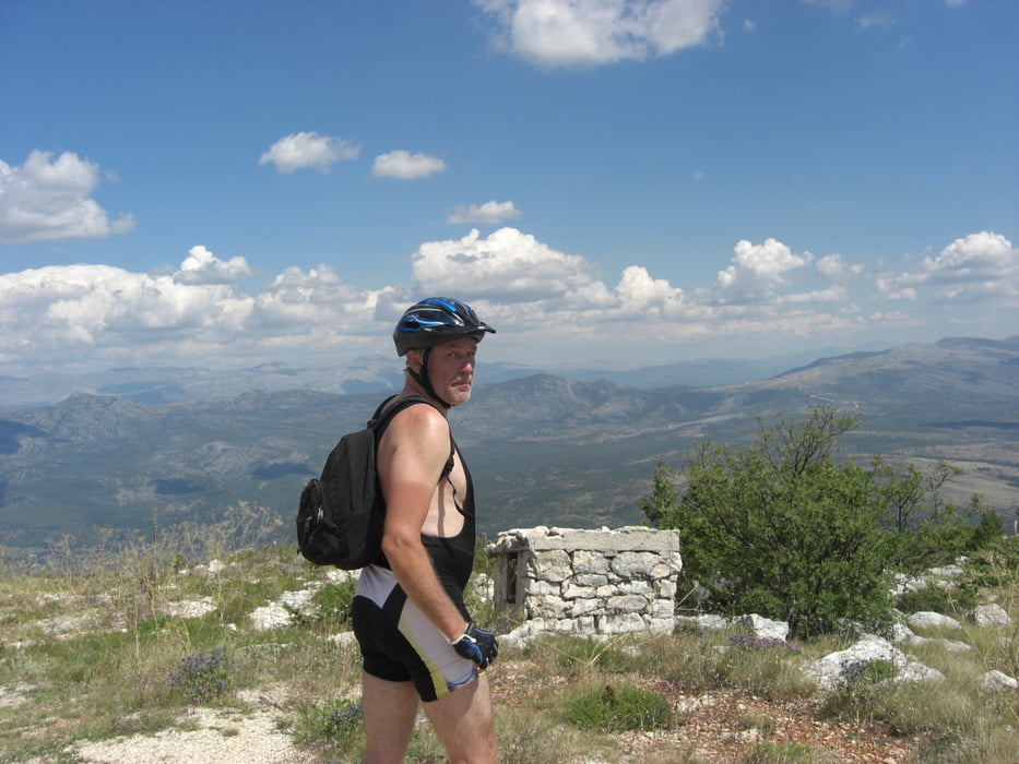
DieseTour hat eine wahnsinns Aussicht, da der Promina ein freistehender Berg ist. Man hat am Gipfel in alle Himmelsrichtungen einen super Blick.
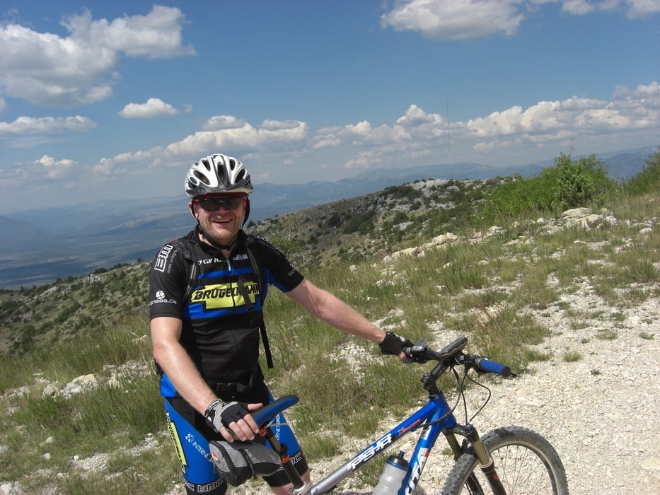
Nicht abschrecken lassen, wenn man vier Kilometer hinter Drnis weg vom Asphalt auf den Feldweg kommt. Die ersten zwei Kilometer sind recht seil und anstrengend (teilweise loser, aufgewühlter Schotter und Kies), aber dann wird der Weg besser.
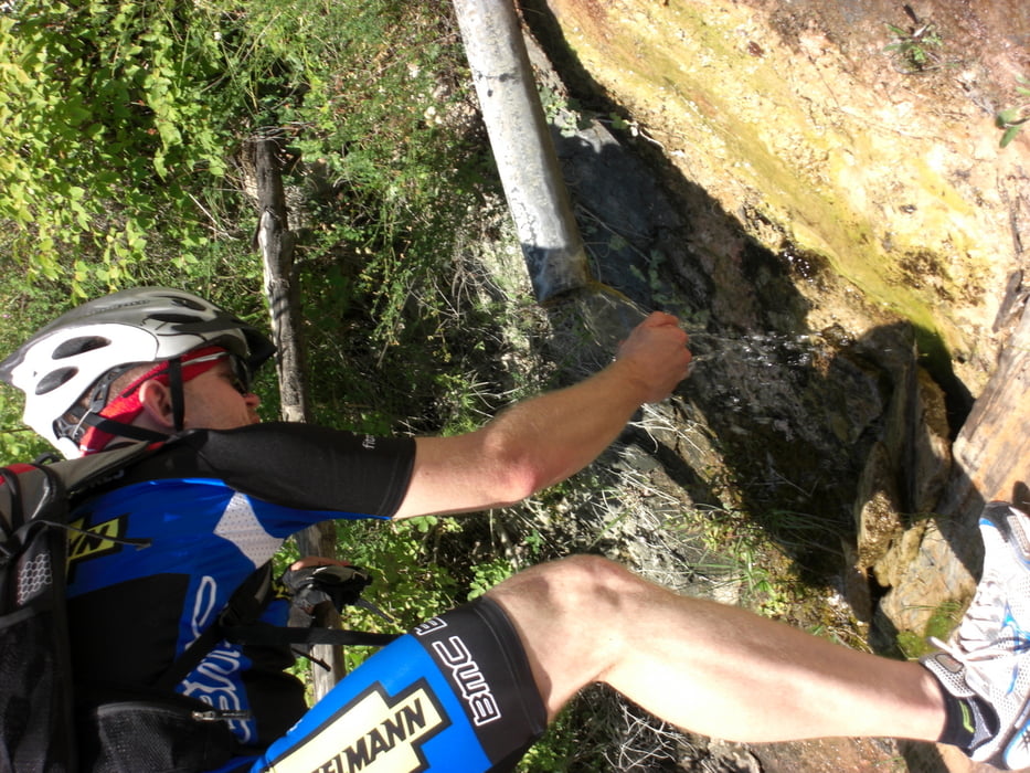
Bei rund 700 Höhenmeter gibt es eine ausgebaute Wasserstelle (siehe Bilder), die auch Mitte August ergiebig sprudelte.
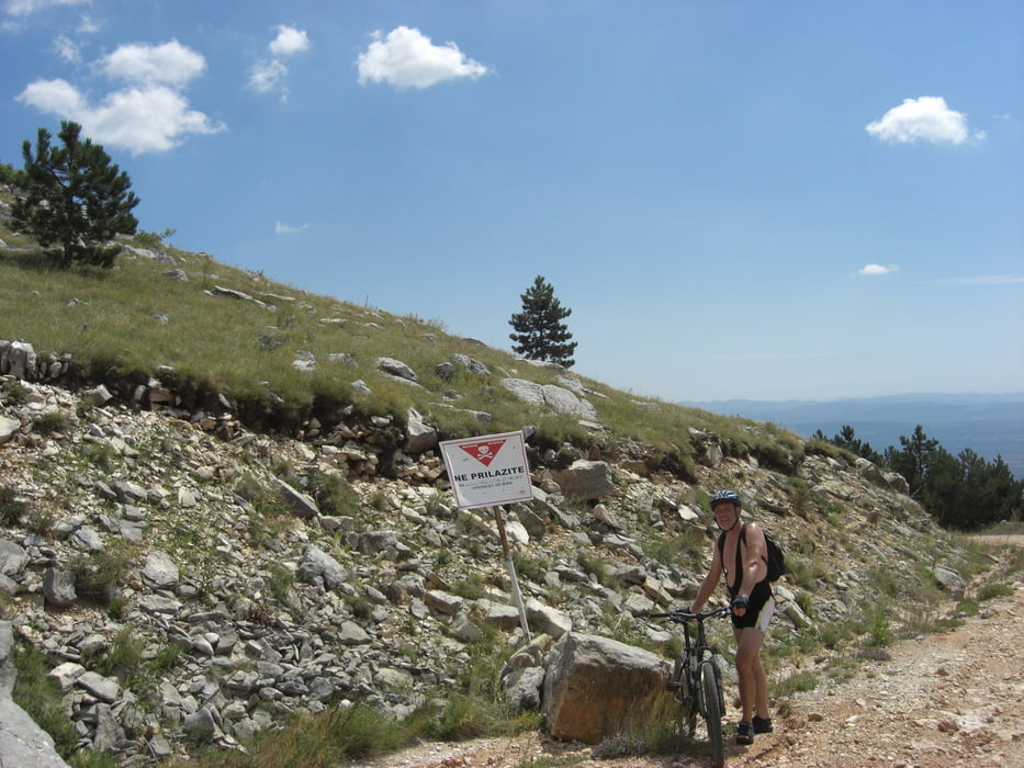
Achtung, weiter oben am Berg können vom Balkankrieg noch Mienen liegen, also besser auf dem Weg bleiben, wenn entsprechende Warnschilder am Straßenrand stehen.
Tour gallery
Tour map and elevation profile
Minimum height 353 m
Maximum height 1145 m
More about the tour author

|
alauchner |
Comments

Am Ortsrand von Drnis kann man gut parken.
GPS tracks
Trackpoints-
GPX / Garmin Map Source (gpx) download
-
TCX / Garmin Training Center® (tcx) download
-
CRS / Garmin Training Center® (crs) download
-
Google Earth (kml) download
-
G7ToWin (g7t) download
-
TTQV (trk) download
-
Overlay (ovl) download
-
Fugawi (txt) download
-
Kompass (DAV) Track (tk) download
-
Track data sheet (pdf) download
-
Original file of the author (gpx) download
More about the tour author
|
|
alauchner |
Add to my favorites
Remove from my favorites
Edit tags
Open track
My score
Rate