

The route finding is pretty obvious.Start at the entrance!
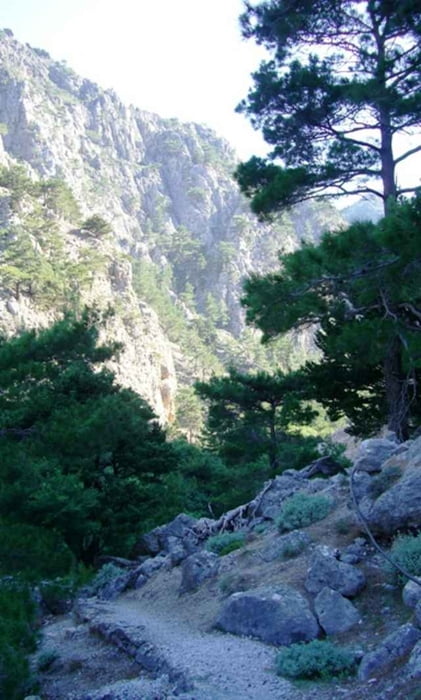
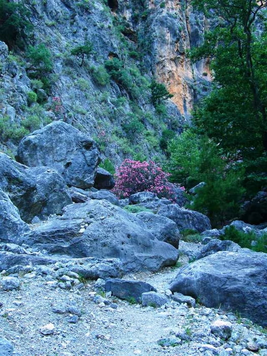
The gorge is easy in the beginning but gets more fun later on.It is very narrow at places.
The last 5 km is on paved road -very doll.
The gorge is easy in the beginning but gets more fun later on.It is very narrow at places.
The last 5 km is on paved road -very doll.
Tour gallery
Tour map and elevation profile
Minimum height 112 m
Maximum height 625 m
More about the tour author

|
medoc |
Comments

GPS tracks
Trackpoints-
GPX / Garmin Map Source (gpx) download
-
TCX / Garmin Training Center® (tcx) download
-
CRS / Garmin Training Center® (crs) download
-
Google Earth (kml) download
-
G7ToWin (g7t) download
-
TTQV (trk) download
-
Overlay (ovl) download
-
Fugawi (txt) download
-
Kompass (DAV) Track (tk) download
-
Track data sheet (pdf) download
-
Original file of the author (gpx) download
More about the tour author
|
|
medoc |
Add to my favorites
Remove from my favorites
Edit tags
Open track
My score
Rate