


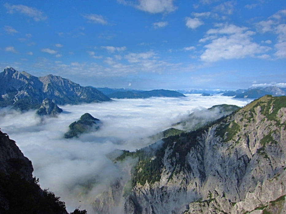
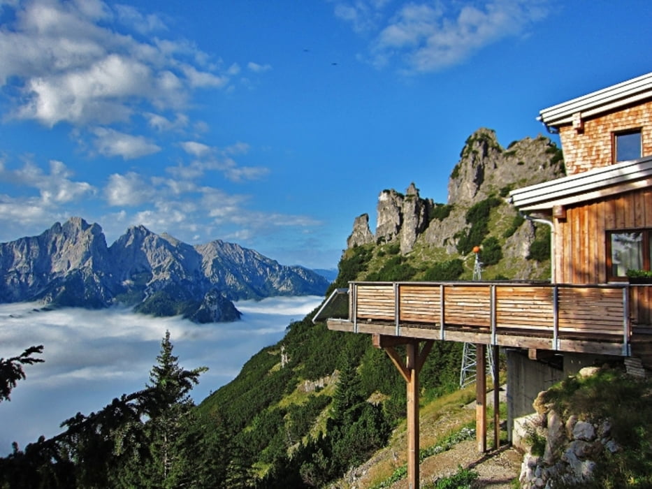
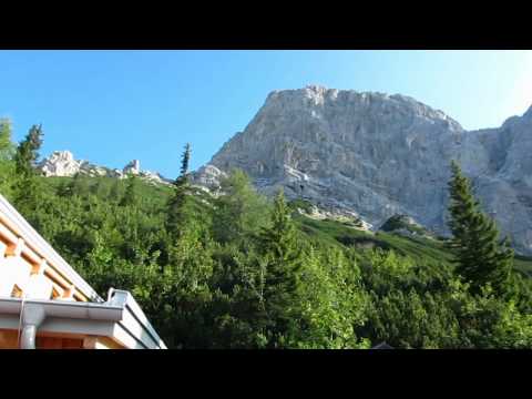
Der Wanderweg von Gstatterboden auf das Buchsteinhaus ist 6,5km lang. Das Buchsteinhaus liegt 970 Höhenmeter oberhalb von Gstatterboden auf 1.546m, im sogenannten Krautgartl auf Höhe der Waldgrenze unterhalb der Südwestseite des Großen Buchsteins hoch über der Enns. Das Buchsteinhaus ist eine Schutzhütte der Naturfreunde Österreichs und wurde in den Jahren 1921 – 1924 erbaut. Seit 2010 hat das neue Buchsteinhaus jedes Jahr von Mai bis Oktober geöffnet. Durch die West- und Südabstürze des Buchsteinstocks gibt es für Kletterer eine Vielzahl von Routen in allen Schwierigkeiten. Neben der hier beschriebenen Variante ist das Buchsteinhaus auch von St. Gallen durch das Große Billbachtal in ca. 5 Stunden erreichbar.
weitere Infos und Fotos findest du unter biketours4you.at
Tour gallery
Tour map and elevation profile
Minimum height 574 m
Maximum height 1575 m
More about the tour author
|
|
Trek1400d |
Comments

GPS tracks
Trackpoints-
GPX / Garmin Map Source (gpx) download
-
TCX / Garmin Training Center® (tcx) download
-
CRS / Garmin Training Center® (crs) download
-
Google Earth (kml) download
-
G7ToWin (g7t) download
-
TTQV (trk) download
-
Overlay (ovl) download
-
Fugawi (txt) download
-
Kompass (DAV) Track (tk) download
-
Track data sheet (pdf) download
-
Original file of the author (gpx) download
More about the tour author
|
|
Trek1400d |
Add to my favorites
Remove from my favorites
Edit tags
Open track
My score
Rate