
")

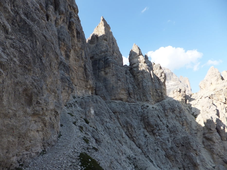
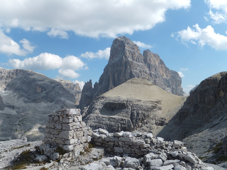
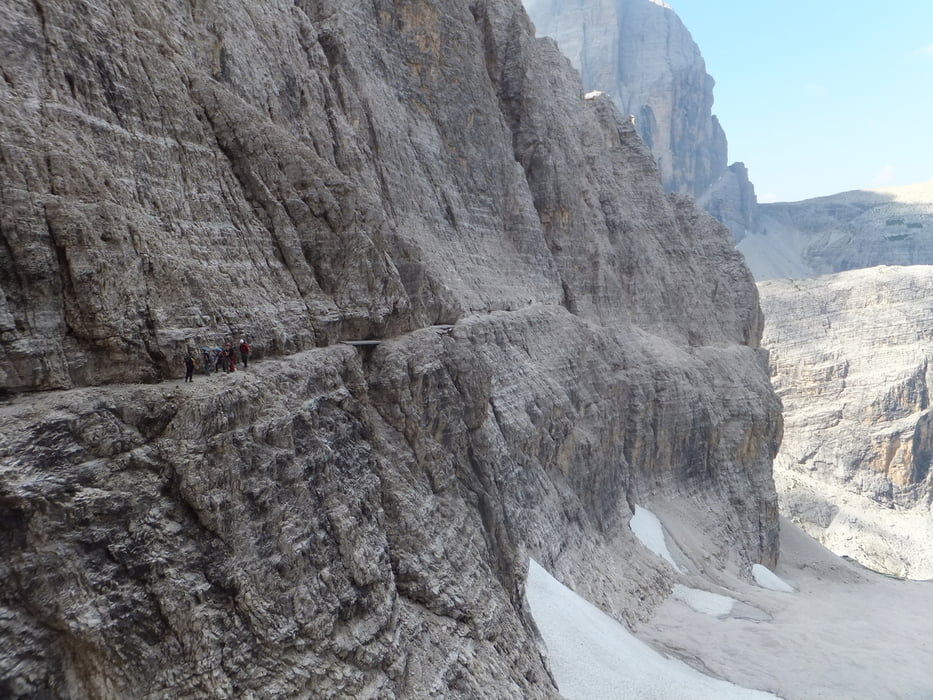
Spannende 3-Tages Tour durch die Sextener Dolomiten. Mit den Abschnitten Sentiero Bonacossa (Tag 1) und Alpinisteig (Tag 3) nur für geübte, trittsichere und Schwindelfreie Bergwanderer zu empfehlen! Übernachtet wird im Rufugio Auronzo und auf der Zsigmondyhütte. Helm, Klettersteigset und Klettergurt sind notwendig!
Die Tour wird auch im Buch "Hüttentreks" von Mark Zahel (Tour 52) beschrieben.
Eine der schönsten und spannendsten Touren die ich erlebt habe!
Tour gallery

Tour map and elevation profile
Minimum height 1416 m
Maximum height 2639 m
More about the tour author
|
|
rudelspass |
Comments

GPS tracks
Trackpoints-
GPX / Garmin Map Source (gpx) download
-
TCX / Garmin Training Center® (tcx) download
-
CRS / Garmin Training Center® (crs) download
-
Google Earth (kml) download
-
G7ToWin (g7t) download
-
TTQV (trk) download
-
Overlay (ovl) download
-
Fugawi (txt) download
-
Kompass (DAV) Track (tk) download
-
Track data sheet (pdf) download
-
Original file of the author (gpx) download
More about the tour author
|
|
rudelspass |
Add to my favorites
Remove from my favorites
Edit tags
Open track
My score
Rate