
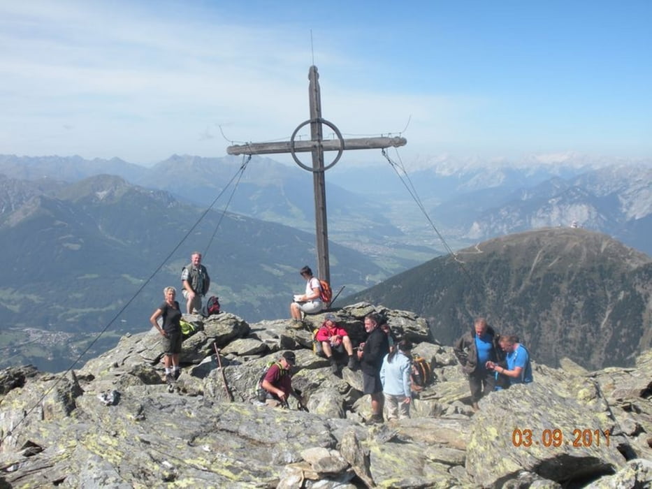

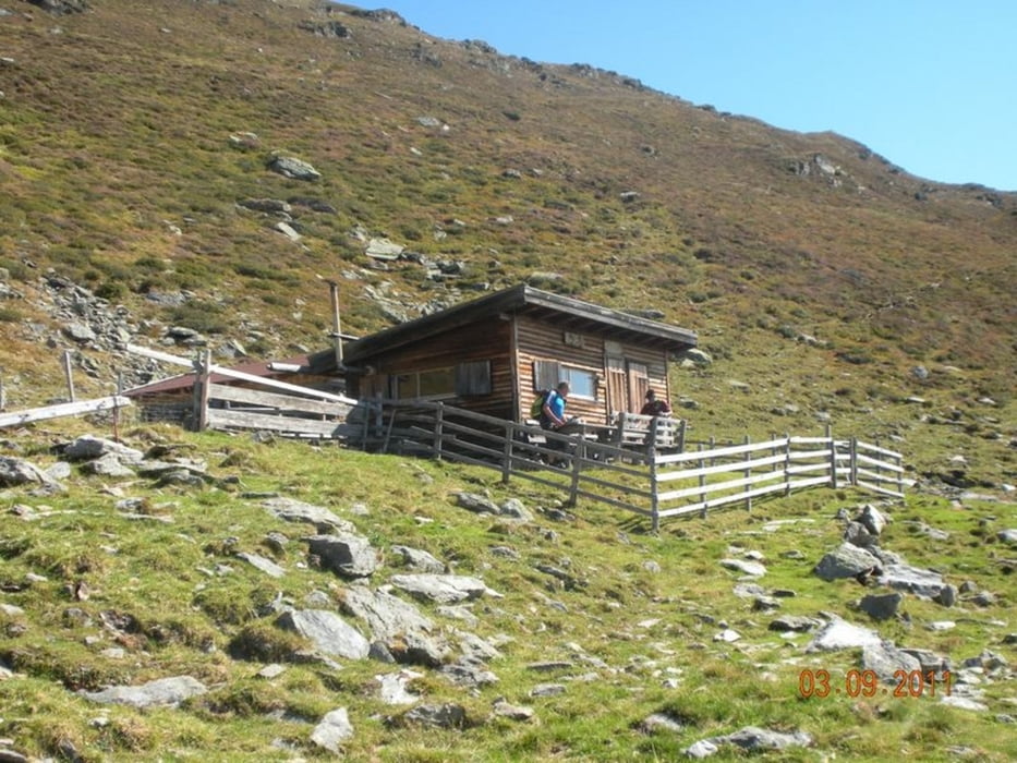
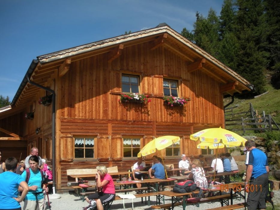
Vom Parkplatz beim Hinterlarcher (1.385 m) in Oberellbögen zuerst auf dem Forstweg, anschließend auf einem schmalen Steig bzw. im weglosen Gelände hinauf zur unbewirtschafteten Schäferhütte (2.192 m) . Weiter auf einem Steig, bis im Hintergrund das Gipfelkreuz sichtbar wird. Die letzten 300 hm weglos und unmarkiert über Steinblöcke und Wiesen hinauf auf den Gipfel des Morgenkogels. Abstieg teilweise weglos durch Almböden und Zirbenwälder auf die bewirtschaftete Profeglalm (1.810 m). Auf dem Forstweg zurück zum Ausgangspunkt.
Tour gallery


Tour map and elevation profile
Minimum height 1329 m
Maximum height 2588 m
More about the tour author
|
|
Fritzl71 |
Comments

A12 Inntalautobahn, Abfahrt Innsbruck Mitte, weiter Richtung Aldrans, Lans, St. Peter, Mühltal. Bei der KFZ-Werkstätte nach dem Ortsgebiet rechts auf den Güterweg nach Oberellbögen abzweigen, Weiterfahrt bis zum gebührenpflichtigen Parkplatz beim Hinterlarcher
GPS tracks
Trackpoints-
GPX / Garmin Map Source (gpx) download
-
TCX / Garmin Training Center® (tcx) download
-
CRS / Garmin Training Center® (crs) download
-
Google Earth (kml) download
-
G7ToWin (g7t) download
-
TTQV (trk) download
-
Overlay (ovl) download
-
Fugawi (txt) download
-
Kompass (DAV) Track (tk) download
-
Track data sheet (pdf) download
-
Original file of the author (gpx) download
More about the tour author
|
|
Fritzl71 |
Add to my favorites
Remove from my favorites
Edit tags
Open track
My score
Rate