


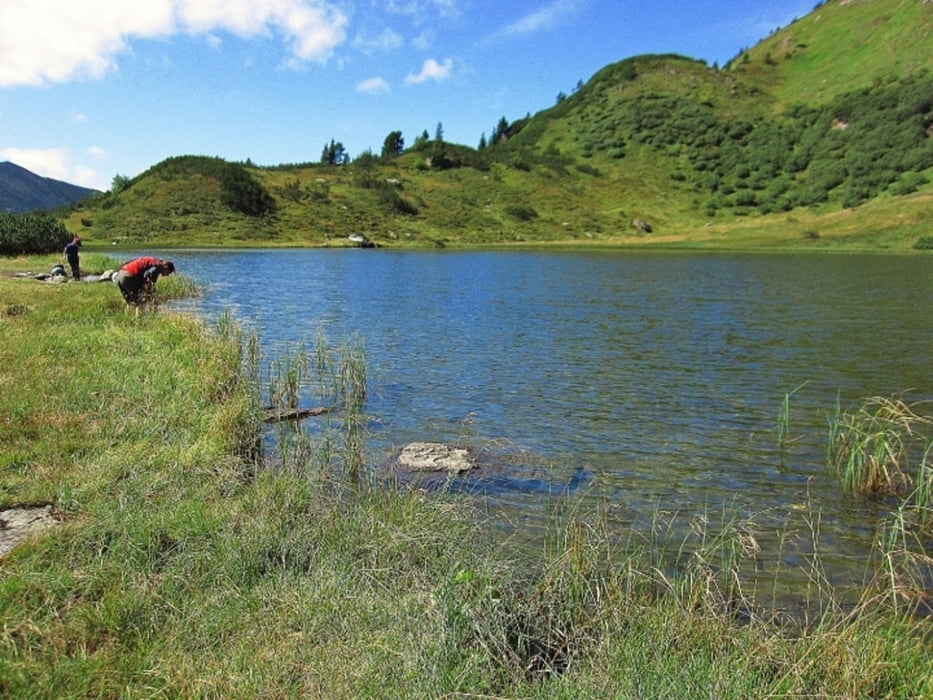
Von der Planneralm 1.590m wandern wir zuerst 1,2km auf einem gut angelegten Karrenweg zum idyllischen Plannersee 1.788m hinauf. Die durchschnittliche Steigung beträgt dabei rund 16%. Vom Plannersee führt ein Steig zum Plannerknot 1.996m hinauf. An diesem Kreuzungspunkt treffen sich die Wanderwege zum Hochrettelstein, Plannereck, Plannerseekarspitze und ein Wanderweg führt vom Ranzenkar auf den Plannerknot.
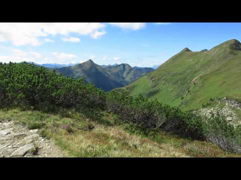
Bis zum Plannereck sind es vom Plannerknot nur ein paar hundert Meter.
Weitere Fotos und Infos findest du auf biketours4you.at
Tour gallery
Tour map and elevation profile
Minimum height 1594 m
Maximum height 1992 m
More about the tour author
|
|
Trek1400d |
Comments

GPS tracks
Trackpoints-
GPX / Garmin Map Source (gpx) download
-
TCX / Garmin Training Center® (tcx) download
-
CRS / Garmin Training Center® (crs) download
-
Google Earth (kml) download
-
G7ToWin (g7t) download
-
TTQV (trk) download
-
Overlay (ovl) download
-
Fugawi (txt) download
-
Kompass (DAV) Track (tk) download
-
Track data sheet (pdf) download
-
Original file of the author (gpx) download
More about the tour author
|
|
Trek1400d |
Add to my favorites
Remove from my favorites
Edit tags
Open track
My score
Rate