


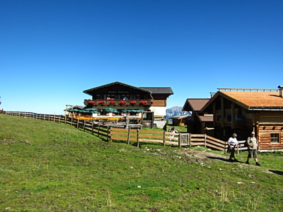
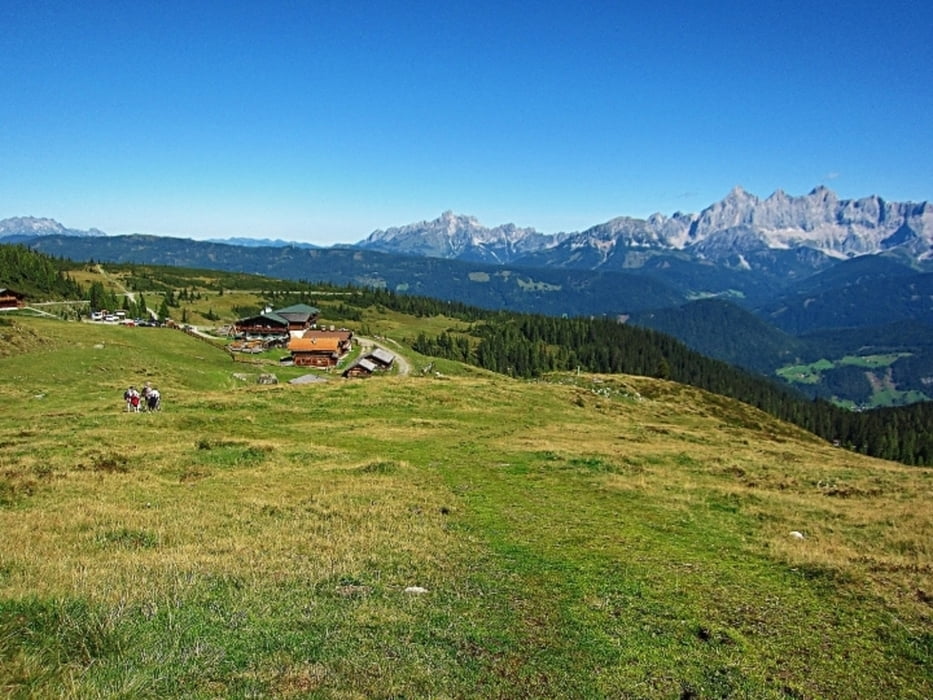
Der Ausgangspunkt für die leichte und mit 2,2km kurze Wanderung liegt beim Alpengasthof Trinkeralm auf 1.750m. Das kleine Almdorf mit dem Gasthof und den Selbstversorgerhütten befindet auf einem kleinen Plateau südlich von Forstau. Die Anfahrt zur Trinkeralm erfolgt wie bei der MTB Tour von Forstau oder Radstadt auf einer schönen Schotterstraße. Schon vom Parkplatz hat man eine wunderbare Aussicht auf den Dachstein, Bischofsmütze, Gosaukamm und ins Ennstal. Dort wo sich im Winter tausende Skifahrer tummeln wandern wir anschließend gemütlich in ca. 50min rund um den Mitterfager.
Tour gallery

Tour map and elevation profile
Minimum height 1731 m
Maximum height 1841 m
More about the tour author
|
|
Trek1400d |
Comments

GPS tracks
Trackpoints-
GPX / Garmin Map Source (gpx) download
-
TCX / Garmin Training Center® (tcx) download
-
CRS / Garmin Training Center® (crs) download
-
Google Earth (kml) download
-
G7ToWin (g7t) download
-
TTQV (trk) download
-
Overlay (ovl) download
-
Fugawi (txt) download
-
Kompass (DAV) Track (tk) download
-
Track data sheet (pdf) download
-
Original file of the author (gpx) download
More about the tour author
|
|
Trek1400d |
Add to my favorites
Remove from my favorites
Edit tags
Open track
My score
Rate