


Diese Tour wurde in acht Etappen gefahren.
Der Track wurde so bearbeitet, dass er nur die reine Tourenstrecke beinhaltet, d.h. entsprechende Wege zu Unterkünften müssen zusätzlich noch zur Tour hinzugerechnet werden, sofern man die Tour nicht in einem einzigen Rutsch abfahren möchte. ;-)
Tag 1 (Garmisch - Tarrenz):
61km, 1400hm
Garmisch - Eibsee - Hochthörlehütte - Ehrwald - Panoramaweg - Pulverkeller - Fernpass - Nassereith - Tarrenz
Tag 2 (Tarrenz - Ischgl):
60km, 1400hm
Tarrenz - Imst - Radroute nach Landeck - Tobadill - Almstüberl (eine seit längerer Zeit verlassene Hütte) -
Fußweg vorbei an mehreren Gebirgsbächen - See - über den Talwanderweg bis Ischgl
Tag 3 (Ischgl - Vnà):
28km, 1300hm
Ischgl - Heidelberger Hütte - zu Fuß weiter zum Fimberpass (ca. 350hm) - Abstieg nach Vnà (anfangs ca. 600hm zu Fuß)
Tag 4 (Vnà - Taufers):
40km, 1900hm
Vnà - Ramosch - Sur En - Val d'Uina (teilw. zu Fuß) - alte Pforzheimer Hütte, Sesvenna Hütte - Laatsch - Taufers
Tag 5 (Taufers - S. Caterina Valfurva)
49km, 1900hm
Taufers - Santa Maria - Umbrail Pass - Bormio - S. Caterina Valfurva
Tag 6 (S. Caterina Valfurva - Dimaro)
65km, 1550hm
S. Caterina Valfurva - Passo di Gavia - Ponte di Legno - Passo del Tonale - Pellizzano - Dimaro
Tag 7 (Dimaro - Condino)
70km, 1300hm
Dimaro - Madonna di Campiglio - Pinzolo - Tione di Trento - Condino
Tag 8 (Condino - Voltino)
47km, 1600hm
Condino - Storo - Tremalzo - Val di Bondo - Voltino
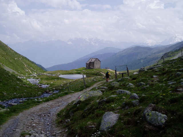
Tour gallery
Tour map and elevation profile
Minimum height 388 m
Maximum height 2624 m
More about the tour author

|
Comments
GPS tracks
Trackpoints-
GPX / Garmin Map Source (gpx) download
-
TCX / Garmin Training Center® (tcx) download
-
CRS / Garmin Training Center® (crs) download
-
Google Earth (kml) download
-
G7ToWin (g7t) download
-
TTQV (trk) download
-
Overlay (ovl) download
-
Fugawi (txt) download
-
Kompass (DAV) Track (tk) download
-
Track data sheet (pdf) download
-
Original file of the author (gpx) download
More about the tour author
|
|
Add to my favorites
Remove from my favorites
Edit tags
Open track
My score
Rate
Keine Daten