

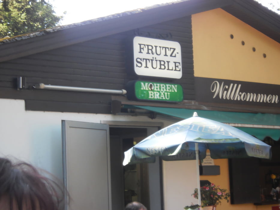
Ein Ritt mit Einkehr beim Frutzstüble am Industriegebiet Röthis.
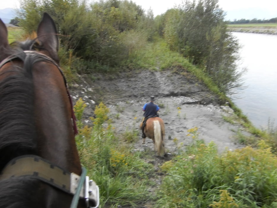
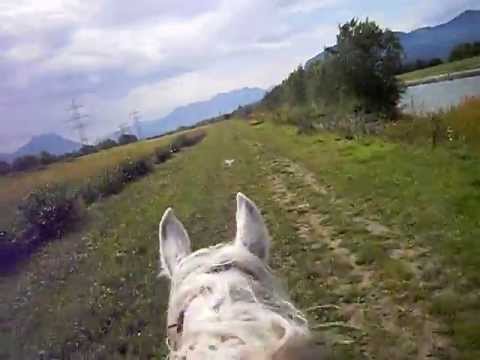
Quer durch Lustenau, durchs Hohenemser- und Altacher Ried, Rheinvorland (Zusammenhängende Galoppstrecke 2,2Km) und Entlang der Frutz .
Nach unserer Stärkung gings zurück, Teilweise über das Schweizerland (Freipassplichtig) und mitten auf den Rheinauen des Alten Rheins überschritten wir die Grenze nach Hohenems.
Da keiner beim Rückritt gleich nachhause wollte kehrten wir noch im Rohrkiosk in Lustenau ein.
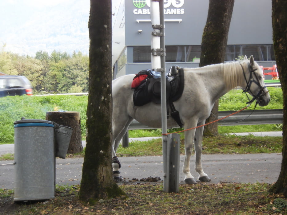
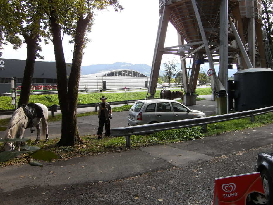
Tour gallery
Tour map and elevation profile
Minimum height 99999 m
Maximum height -99999 m
More about the tour author
|
|
4hufe |
Comments

GPS tracks
Trackpoints-
GPX / Garmin Map Source (gpx) download
-
TCX / Garmin Training Center® (tcx) download
-
CRS / Garmin Training Center® (crs) download
-
Google Earth (kml) download
-
G7ToWin (g7t) download
-
TTQV (trk) download
-
Overlay (ovl) download
-
Fugawi (txt) download
-
Kompass (DAV) Track (tk) download
-
Track data sheet (pdf) download
-
Original file of the author (gpx) download
More about the tour author
|
|
4hufe |
Add to my favorites
Remove from my favorites
Edit tags
Open track
My score
Rate