


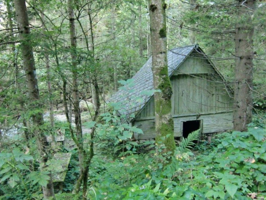
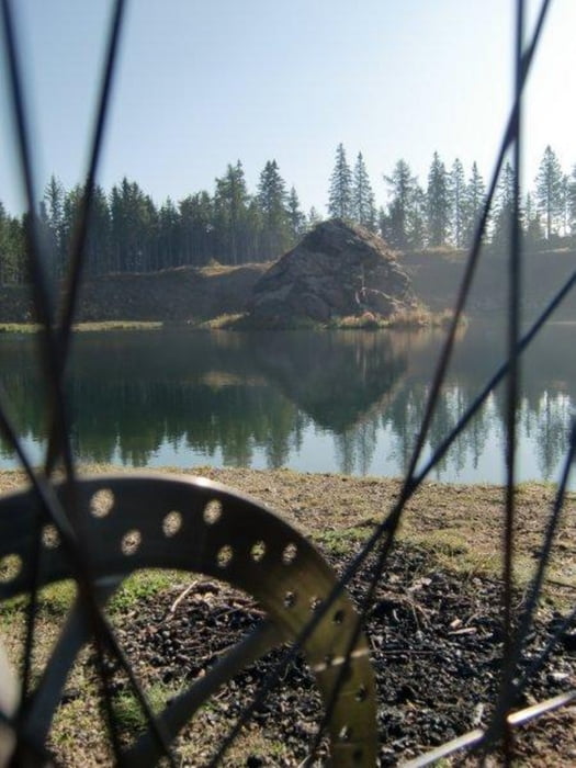
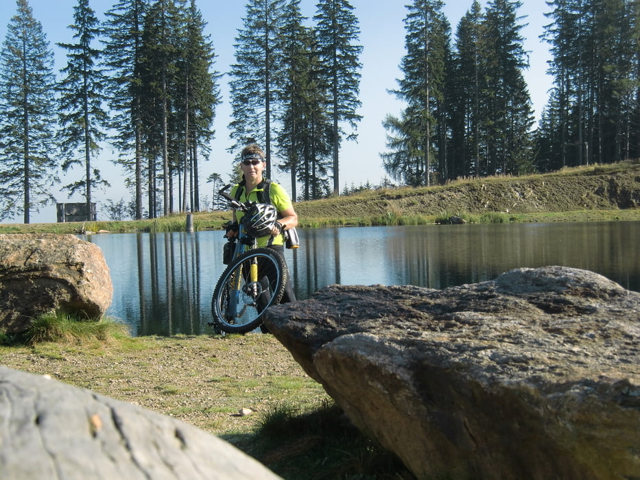
Die Tour beginnt in Deutschlandsberg und geht über Wildbach den Bach entlang nach Kloster und dann weiter auf die Hebalpe.Beim Hebalpsee ist mal Pause und Zeit zum Genießen des schönen Sees.Weiter geht es kurz vor die Pack,dort rechts abbiegen und weiter über eine schöne Schotterstrasse bis zum Packbach runter,den Bach entlang bis zur Brücke und da rechts rüber und den Berg rauf,alles schöne Schotterstrassen.Den Berg entlang führt der Weg dann nach Modriach zum Rupertikirtag.Grillhendl war Pflicht.
Von Modriach geht es zur Hauptstrasse runter und den gegenüberliegenden Berg rauf,man kommt zum Hirzmann Stausee-Edelschrott-St.Martin-Geißfeld-Mosskirchen-St.Stefan-Stainz-Gams und wieder nach Deutschlandsberg.
Auf einigen Wegen ist aber Fahrverbot!!!!!Rund 70% sind Asphalt.
Tour gallery

Tour map and elevation profile
Minimum height 335 m
Maximum height 1408 m
More about the tour author
|
|
plazo100 |
Comments

GPS tracks
Trackpoints-
GPX / Garmin Map Source (gpx) download
-
TCX / Garmin Training Center® (tcx) download
-
CRS / Garmin Training Center® (crs) download
-
Google Earth (kml) download
-
G7ToWin (g7t) download
-
TTQV (trk) download
-
Overlay (ovl) download
-
Fugawi (txt) download
-
Kompass (DAV) Track (tk) download
-
Track data sheet (pdf) download
-
Original file of the author (gpx) download
More about the tour author
|
|
plazo100 |
Add to my favorites
Remove from my favorites
Edit tags
Open track
My score
Rate