Login

Forgotten password?

Cookies have to be accepted!
Your browser's cookie functionality is disabled. Please enable this functionality.

Not a member yet?

Register now
Login

Available for registred users only

Log in to use this feature.

Forgotten password?

Cookies have to be accepted!
Your browser's cookie functionality is disabled. Please enable this functionality.

Not a member yet?

Register now
Filter
Categories
Advanced filters
  • Distance (km)
  • Height
Save filters Reset filter

TrackRank

QRCode

Technical data

Distance21,3 km Height97 m Way down49 m Duration2 days 12 h Date29.09.2011
Scores Author User Landscape Fun factor Fitness Technique

Statistics

1458 Views 1 Score 107 Downloads 5.00 Average
Rate
  • Track data sheet
  • Directions
  • Downloads
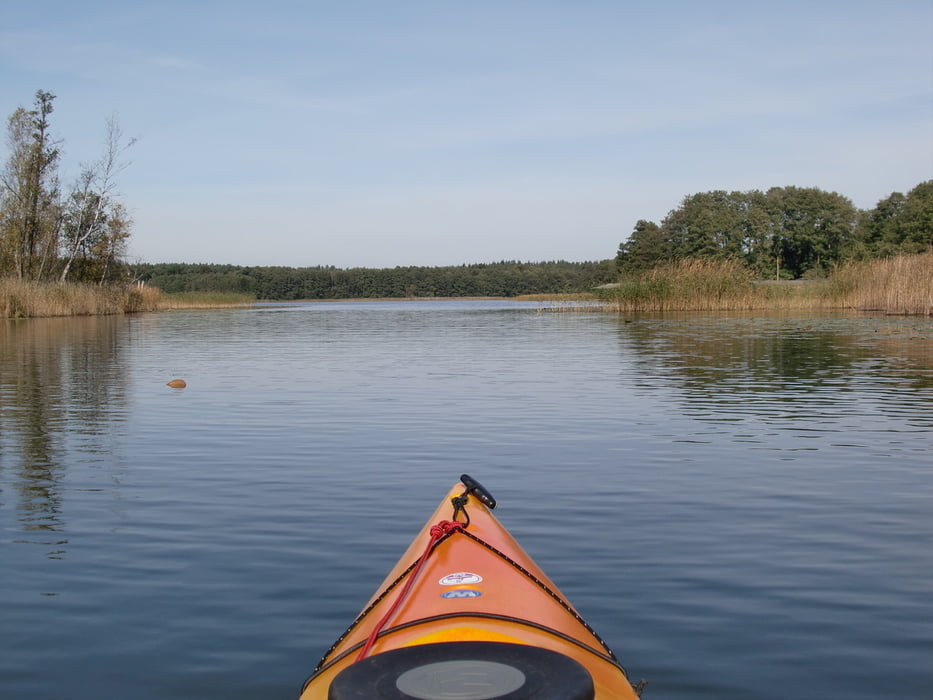
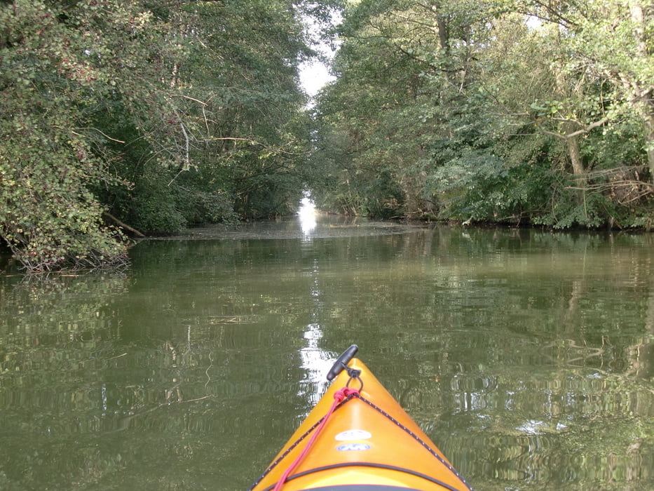
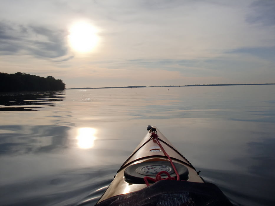
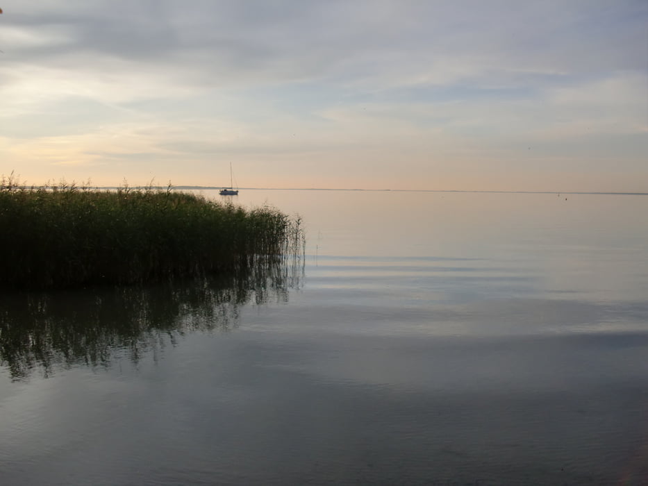
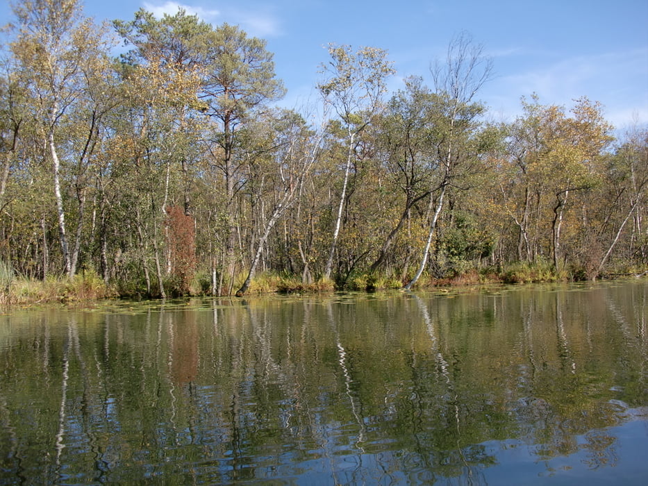
Startpunkt Kanu Station Mirow,Richtung Süden über Mirower See,Granzower Möschen,Kotzower See,Leppinsee,Woterfitzsee,Caarpsee,Bolter Kanal zur Müritz.Wunderschöne Landschaft,traumhaftes Wetter und mit Geduld viele Tiere gesehen.Seeadler,Eisvögel,Schlangen usw.

Tour gallery

Tour map and elevation profile

  • Open Street Map
  • Google
Minimum height -12 m Maximum height 60 m Detailed view

More about the tour author

paddel
Member since 2011

Send private message

Comments

GPS tracks

Trackpoints
  • GPX / Garmin Map Source (gpx) download
  • TCX / Garmin Training Center® (tcx) download
  • CRS / Garmin Training Center® (crs) download
  • Google Earth (kml) download
  • G7ToWin (g7t) download
  • TTQV (trk) download
  • Overlay (ovl) download
  • Fugawi (txt) download
  • Kompass (DAV) Track (tk) download
  • Track data sheet (pdf) download
  • Original file of the author (gpx) download

More about the tour author

paddel
Member since 2011

Send private message
Share track
Add to my favorites
Remove from my favorites
Edit tags
My score
Rate
Track: Mirow-Müritz ( Alte Fahrt )
Type: Boat and canoe
Distance: 21,3 km
Evaluated on:
Duration:
Day(s)
Hour(s)
Minute(s)
Score: Landscape Fun factor Fitness Technique