
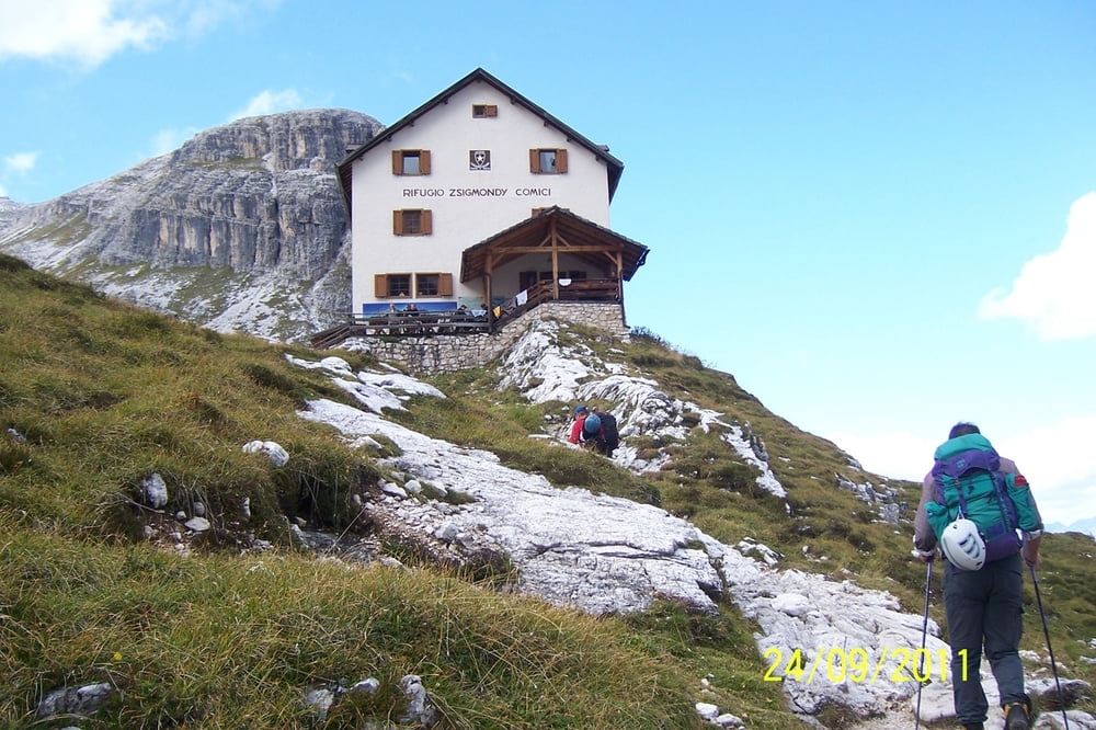

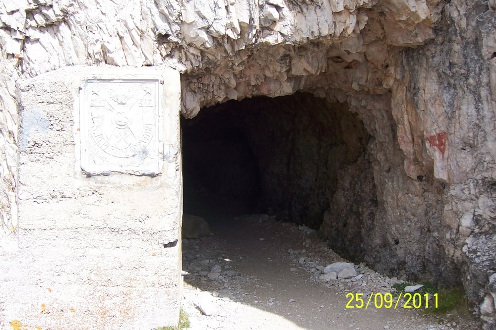
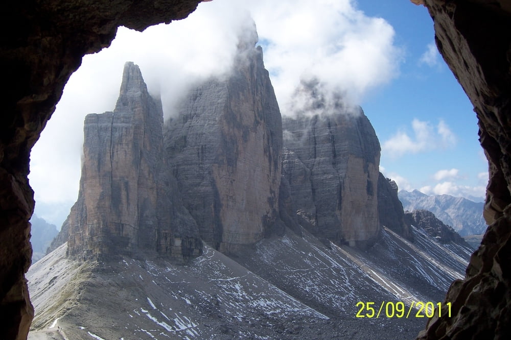
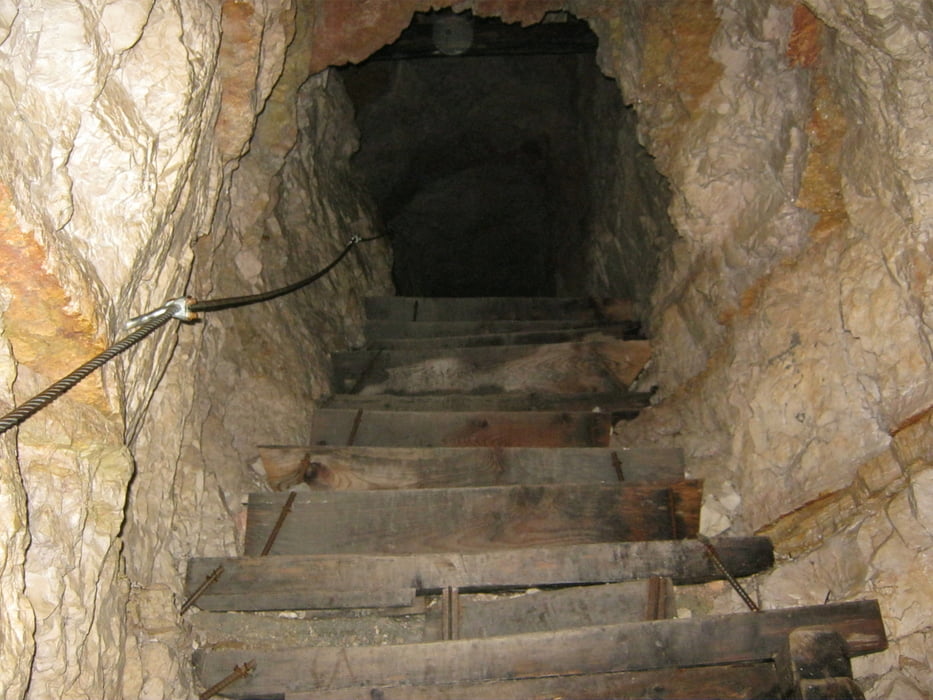
Die Tour beginnt an der Szigmondi-Hütte und führt uns über die Büllelejochhütte zum Einstieg des Klettersteigs auf den Paternkofel. (Innerkofler Klettersteig) Aufstieg sehr gut versichert mit neuen Stahlseilen. Abstieg dann über teilweise den selben Steig und dann durch Tunnels die im 1. Weltkrieg entstanden sind in Richtung Drei Zinnen-Hütte. Rückweg zum Büllelejoch wo wir wieder auf den Aufstiegsweg treffen und zur Szigmondi-Hütte zurückgehen.
Tour gallery
Tour map and elevation profile
Minimum height 2215 m
Maximum height 2748 m
More about the tour author

|
flosima |
Comments

GPS tracks
Trackpoints-
GPX / Garmin Map Source (gpx) download
-
TCX / Garmin Training Center® (tcx) download
-
CRS / Garmin Training Center® (crs) download
-
Google Earth (kml) download
-
G7ToWin (g7t) download
-
TTQV (trk) download
-
Overlay (ovl) download
-
Fugawi (txt) download
-
Kompass (DAV) Track (tk) download
-
Track data sheet (pdf) download
-
Original file of the author (gpx) download
More about the tour author
|
|
flosima |
Add to my favorites
Remove from my favorites
Edit tags
Open track
My score
Rate