


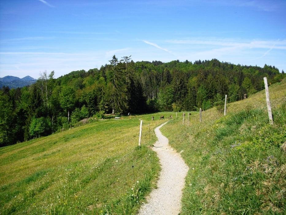
Einfache Bergwanderung mit tollem Panorama auf der Salmaser Höhe. Wir starten in Bühl am Alpsee beim Parkplatz vom Freibad Hauser. Erst gehen wir auf dem Seerundweg direkt am See bis "in der Au" und wechseln dort auf den Bodensee-Königsee Radweg.
Weiter gehts nun bis der Weg abzweigt zur Schönreuthsalpe. Vorbei an dieser der Beschilderung zur Siedelalpe folgen. Auf Höhe 970 kommen wir auf den Panoramaweg und gehen links zur Pfarralpe. Der Rückweg führt uns erst zum Aussichtspunkt Alpseeblick. Auf dem Hinweg gehts nun zur Siedelalpe und weiter nach Zaumberg. Von hier kommen wir nun auf einem Wanderweg zurück nach Bühl.
Further information at
http://www.immenstadt.deTour gallery


Tour map and elevation profile
Minimum height 712 m
Maximum height 1058 m
More about the tour author
|
|
Bockrider |
Comments

Auf B308 nach Immenstadt/Allgäu weiter Richtung Missen und Bühl Strandbad. Parken (Gebührenpflichtig) beim Strandbad.
GPS tracks
Trackpoints-
GPX / Garmin Map Source (gpx) download
-
TCX / Garmin Training Center® (tcx) download
-
CRS / Garmin Training Center® (crs) download
-
Google Earth (kml) download
-
G7ToWin (g7t) download
-
TTQV (trk) download
-
Overlay (ovl) download
-
Fugawi (txt) download
-
Kompass (DAV) Track (tk) download
-
Track data sheet (pdf) download
-
Original file of the author (gpx) download
More about the tour author
|
|
Bockrider |
Add to my favorites
Remove from my favorites
Edit tags
Open track
My score
Rate