


Rundwanderung von La Touesse zum Pointe du Meinga, Ile Besnard und über La Marette zurück.
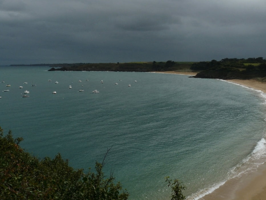
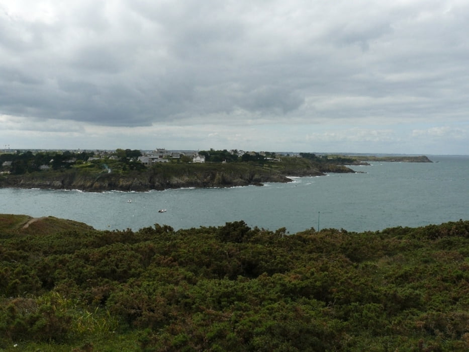
Die meiste Zeit wandert man an der Küste auf schmalen Pfaden entlang, teilweise auch direkt am Strand. An manchen Stellen sollte man einigermaßen trittsicher sein.
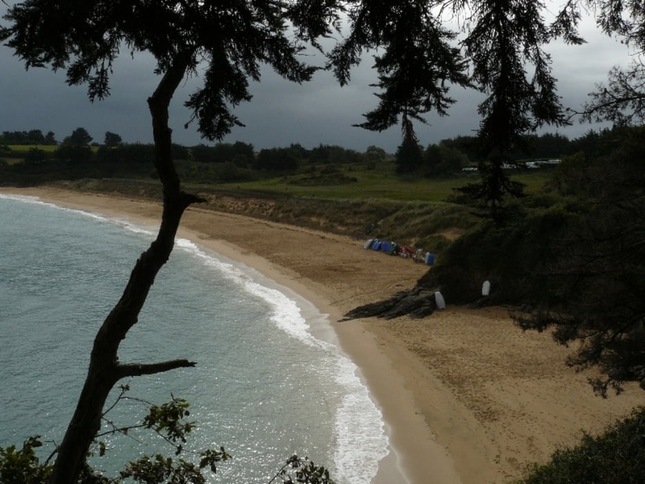
Der Abschnitt am Campingplatz entlang und durch La Marette führt über Teerstraßen ist nicht ganz so schön.
Tour gallery
Tour map and elevation profile
Minimum height -7 m
Maximum height 35 m
More about the tour author

|
kaestle |
Comments

Von St. Malo über die D 201 Richtung Osten (Cancale). Am Campingplatz von La Touesse ist auf der linken Seite ein Parkplatz.
GPS tracks
Trackpoints-
GPX / Garmin Map Source (gpx) download
-
TCX / Garmin Training Center® (tcx) download
-
CRS / Garmin Training Center® (crs) download
-
Google Earth (kml) download
-
G7ToWin (g7t) download
-
TTQV (trk) download
-
Overlay (ovl) download
-
Fugawi (txt) download
-
Kompass (DAV) Track (tk) download
-
Track data sheet (pdf) download
-
Original file of the author (gpx) download
More about the tour author
|
|
kaestle |
Add to my favorites
Remove from my favorites
Edit tags
Open track
My score
Rate