


Start für diese Wanderung ist der Taternplatz an der B 242 bei Bad Grund.
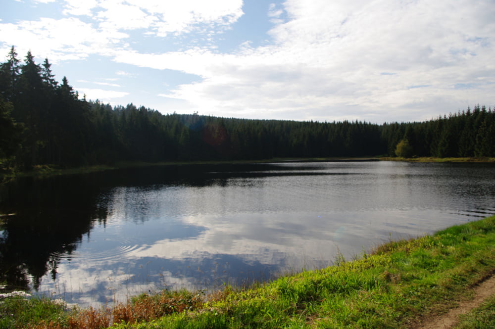
Wir wandern auf einem kleinen Pfad abwärts, dann geht es auf Forstwegen zum Moos-Stieg. Auf diesem wirklich schönem Pfad erreichen wir den Gewitterplatz. Weiter geht es zur Kaysereiche, einer Stempelstelle der Harzer Wandernadel. Nächstes Ziel ist die Lasfelder Tränke, ebenfalls eine Stempelstelle der Harzer Wandernadel. Als der Bundespräsident Karl Carstens sie besuchte war hier noch nichts mit stempeln. Von hier biegen wir nach ca. 700 m nach rechts auf einen kleinen Weg der uns zum Oberen Hahnebalzer Teich führt. Anschließend geht es auf Forstwegen wieder zum Ausgangspunkt zurück.
Further information at
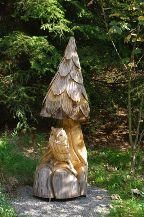
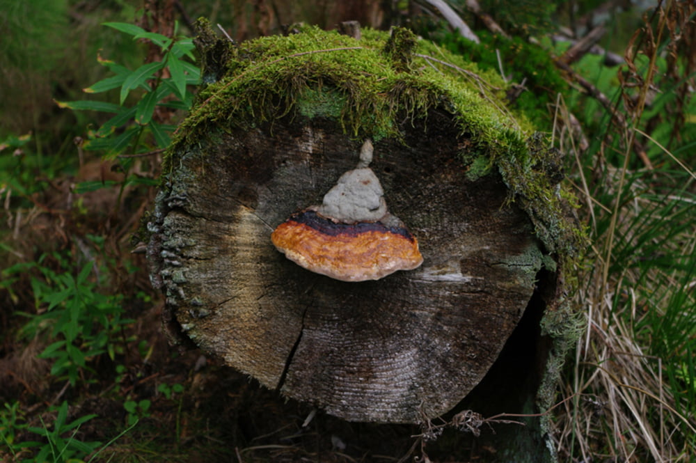
http://www.harzer-wandernadel.de/home/stempelstellen_details.php?id=131Tour gallery
Tour map and elevation profile
Minimum height 423 m
Maximum height 616 m
More about the tour author

|
harzhelmut |
Comments

Mit dem Auto aus Richtung Goslar. Auf der B 82 in Richtung A 7. Die B 82 an der Abfahrt Langelsheim-Süd / Clausthal-Zellerfeld / Lautenthal verlassen und auf der L 515 durch Lautenthal und Wildemann bis auf die B 242 fahren. Dort nach rechts in Richtung Bad Grund abbiegen. Nach ca. 1 km ist auf der Höhe rechts der Parkplatz Grunder Gefälle und links der Taternplatz.
GPS tracks
Trackpoints-
GPX / Garmin Map Source (gpx) download
-
TCX / Garmin Training Center® (tcx) download
-
CRS / Garmin Training Center® (crs) download
-
Google Earth (kml) download
-
G7ToWin (g7t) download
-
TTQV (trk) download
-
Overlay (ovl) download
-
Fugawi (txt) download
-
Kompass (DAV) Track (tk) download
-
Track data sheet (pdf) download
-
Original file of the author (gpx) download
More about the tour author
|
|
harzhelmut |
Add to my favorites
Remove from my favorites
Edit tags
Open track
My score
Rate