

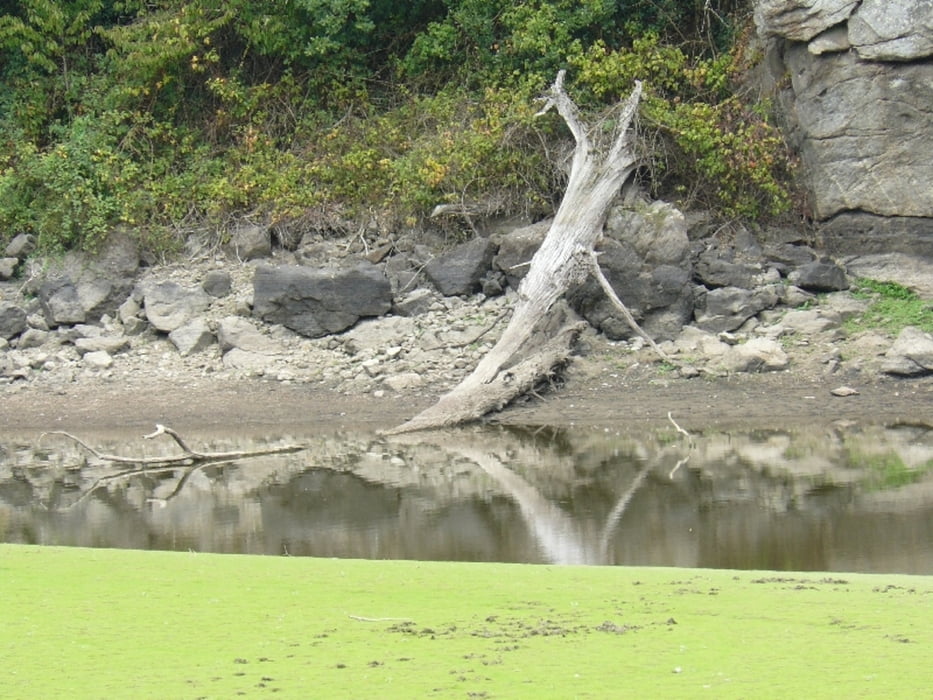
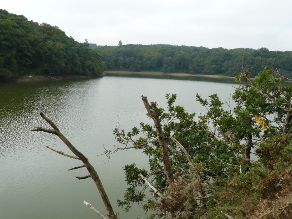
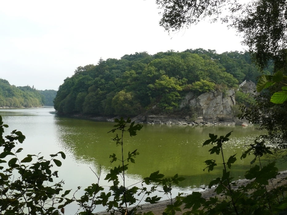
Schöne Rundwanderung um eine Teil des Arguenon.
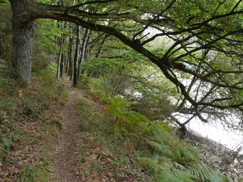
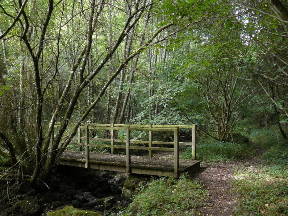
Die Wanderung führt fast durchgehend auf einem schmalen Pfad, der teilweise verachsen ist und steile Anstiege hat. An einigen Stellen muss man die Hände zu Hilfe nehmen. Trittsicherheit ist erforderlich.
Als wir die Wanderung gemacht haben war der Weg trocken und griffig. Ich kann ir aber gut vorstellen, dass wenn es geregnet hat der Weg ziemlich rutschig werden kann.
Tour gallery
Tour map and elevation profile
Minimum height 9 m
Maximum height 38 m
More about the tour author

|
kaestle |
Comments

Von Pluduno auf der D 28 Richtung Lamballe. Auf ungefähr halbem Weg die D 16 Richtung Süden. Nach ca. 3 km Richtung Le Fougeray und weiter Richtung Tournemine. Nach der Brücke über den Arguenon gibt es rechts einen Parkplatz.
Alternativ kann man Süden her anfahren über die N 176 und Richtung St. Igneuc. Am südl. Ende der Wanderung ist ebenfalls ein kleiner Parkplatz, vom aus man starten kann.
GPS tracks
Trackpoints-
GPX / Garmin Map Source (gpx) download
-
TCX / Garmin Training Center® (tcx) download
-
CRS / Garmin Training Center® (crs) download
-
Google Earth (kml) download
-
G7ToWin (g7t) download
-
TTQV (trk) download
-
Overlay (ovl) download
-
Fugawi (txt) download
-
Kompass (DAV) Track (tk) download
-
Track data sheet (pdf) download
-
Original file of the author (gpx) download
More about the tour author
|
|
kaestle |
Add to my favorites
Remove from my favorites
Edit tags
Open track
My score
Rate