Login

Forgot your login?

Cookies have to be accepted!
Your browser's cookie functionality is disabled. Please enable this functionality.

Not a member yet?

Register now
Login

Available for registred users only

Log in to use this feature.

Forgot your login?

Cookies have to be accepted!
Your browser's cookie functionality is disabled. Please enable this functionality.

Not a member yet?

Register now
Filter
Categories
Advanced filters
  • Distance (km)
  • Height
Save filters Reset filter

TrackRank

QRCode

Technical data

Distance26,0 km Height560 m Way down m Duration02:00 h:m Date14.07.2007
Scores Author Landscape Fun factor Fitness Technique

Statistics

1715 Views 1 Score 279 Downloads 3.00 Average
Rate
  • Track data sheet
  • Directions
  • Downloads
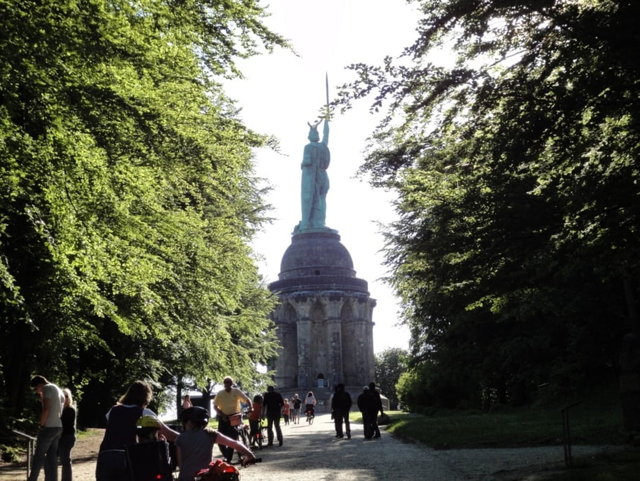
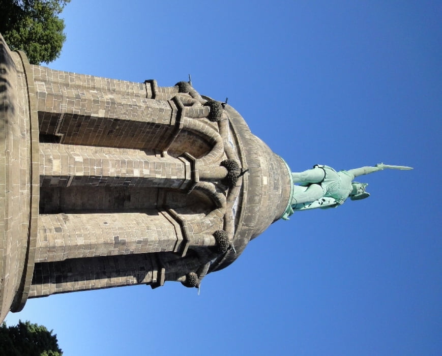
Schöne Tour mit nur wenigen Asphaltabschnitten. Es geht meist über breite Wald- und Forstwege durch die Egge am Hermannsdenkmal vorbei.

Tour gallery

Tour map and elevation profile

  • Open Street Map
  • Google
Minimum height 194 m Maximum height 390 m Detailed view

More about the tour author

ralph.trapp
Member since 2007

Send private message

Comments

Frauenzimmer on 02.01.2009

Sehr schöne Tour! Danke!
prussy on 28.04.2014

Tour

Die Tour ist bestens geeignet mal wieder mit Frau/Freundin eine MTB-Tour zu machen!Meine fährt nicht so viel und fand die Tour Super auch von der länge....und Kultur ist auch dabei! Ich fahre sehr viel und HM! War schön entspannend (kein meckern weil zu steil) GPS Track ist sehr genau.
Von Paderborn über die B1 Richtung Detmold. Abfahrt Kohlstädt. An der Verzweigung rechts, die nächste wieder rets. Immer geradeaus bis zum Gasthaus Kreuzkrug.

GPS tracks

Trackpoints
  • GPX / Garmin Map Source (gpx) download
  • TCX / Garmin Training Center® (tcx) download
  • CRS / Garmin Training Center® (crs) download
  • Google Earth (kml) download
  • G7ToWin (g7t) download
  • TTQV (trk) download
  • Overlay (ovl) download
  • Fugawi (txt) download
  • Kompass (DAV) Track (tk) download
  • Track data sheet (pdf) download
  • Original file of the author (g7t) download

More about the tour author

ralph.trapp
Member since 2007

Send private message
Share track
Add to my favorites
Remove from my favorites
Edit tags
My score
Rate
Track: Kreuzkrug-Hermannsdenkmal
Type: Mountain bike
Distance: 26,0 km
Evaluated on:
Duration:
Day(s)
Hour(s)
Minute(s)
Score: Landscape Fun factor Fitness Technique