


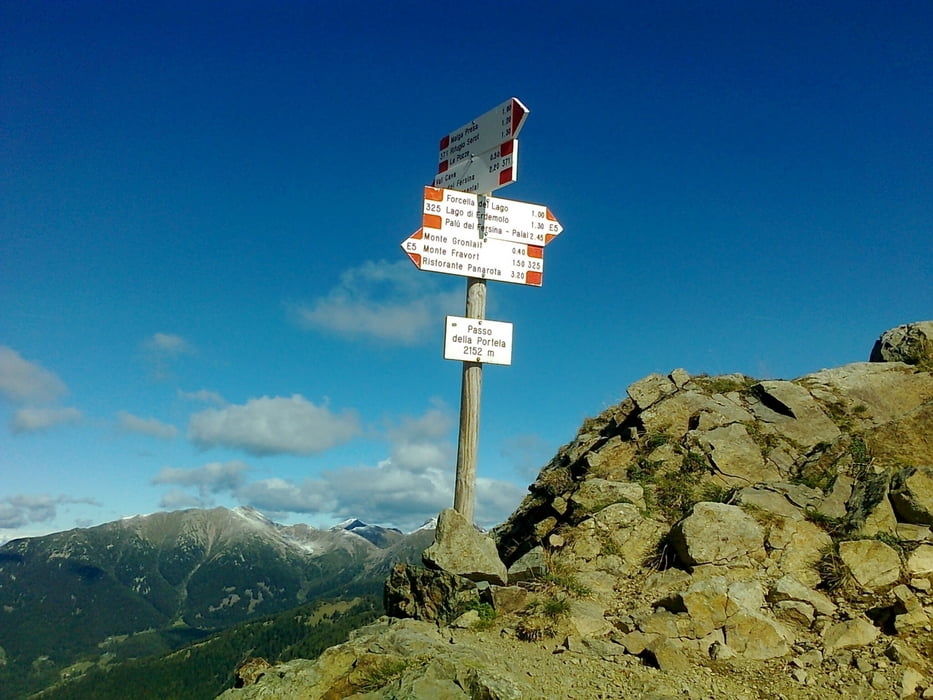
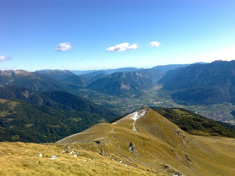
Vom Rif. Serot (ganzjährig geöffnet) gehen wir ein Stück zurück und folgen dann immer den Wegweisern Passo della Portella. Bis hierher geht es ein Stück Forstweg dann über Weiden und Wiesen in angenehmer Steigung bis zum Sattel zwischen Gronlait lx und Hoabonti rx. Hier teilen sich die Wege, wir gehen rx, folgen nach einigen Metern nicht der Markierung Forcella del Lago, sondern bleiben auf den Steigspuren geradeaus Richtung Gipfel. Wir bleiben in dieser Richtung immer den Kamm entlang und kommen so zum zweiten Gipfel. Hier rx über Steigspuren bergab bis man einen markierten Steig kreuzt, nun auf diesen den letzten Km zum Ausgangaspunkt zurück.
Gutes Schuhwerk und etwas Trittsicherheit erforderlich
Einkehrmöglichkeit nur bei Start/Ziel
Trackdatum: 09.Okt.2011
Landkarte: Kompass Nr. 621
Tour gallery
Tour map and elevation profile
Minimum height 1553 m
Maximum height 2326 m
More about the tour author
|
|
Califan |
Comments

Von Trient Richtung Padova, Ausfahrt Roncegno und nun bergauf ca. 10 KM immer den Hinweistafeln Rif. Serot folgen.
GPS tracks
Trackpoints-
GPX / Garmin Map Source (gpx) download
-
TCX / Garmin Training Center® (tcx) download
-
CRS / Garmin Training Center® (crs) download
-
Google Earth (kml) download
-
G7ToWin (g7t) download
-
TTQV (trk) download
-
Overlay (ovl) download
-
Fugawi (txt) download
-
Kompass (DAV) Track (tk) download
-
Track data sheet (pdf) download
-
Original file of the author (gpx) download
More about the tour author
|
|
Califan |
Add to my favorites
Remove from my favorites
Edit tags
Open track
My score
Rate