


Gut erholt von der Busanreise mit Boehmentour (Turnov) gehts zur ersten Tour.
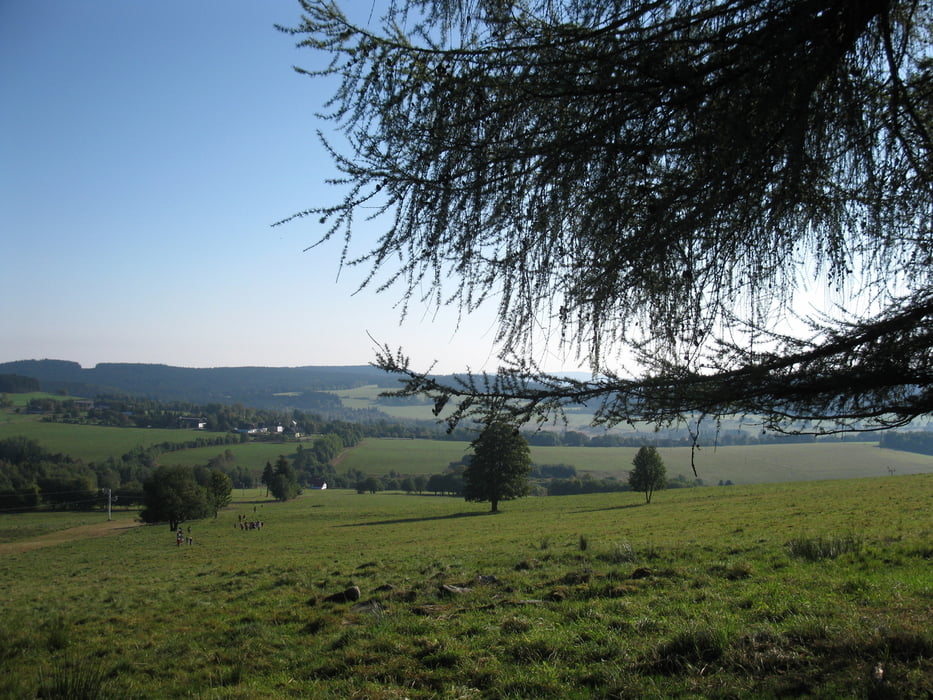
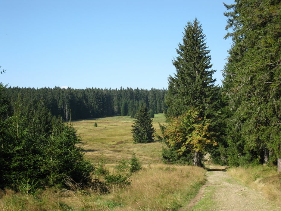
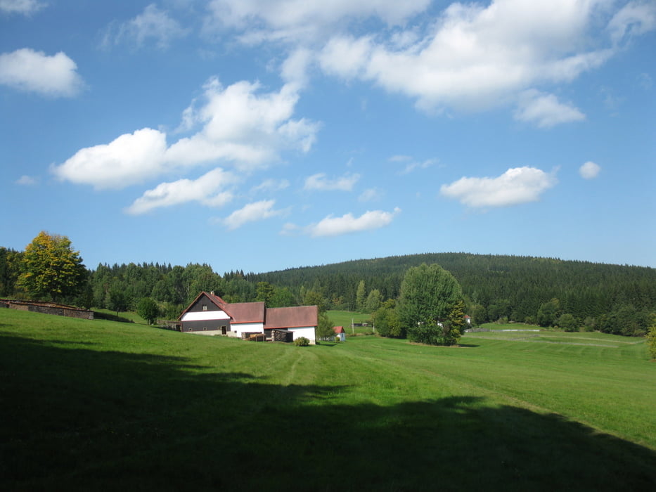
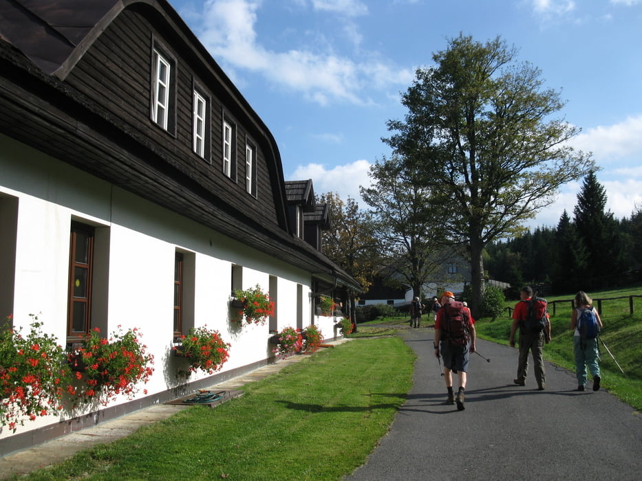
Start ist an unserem Quartier Ceske chalupy. unser Wanderziel ist über den Prilba (Helm) ein Lehrpfad in Churanov. Wie sich im Laufe des Tages herausstellt, hat unser Wanderleiter Thomas eine sehr gute Wahl getroffen.Auch ein Wetter, wie Seniorenengel es einfach verdient haben hat er rangezaubert.
Anstieg: 513m Abstieg: 434m
Further information at
http://www.ceskechalupy.cz/ger/nove-hute.phpTour gallery
Tour map and elevation profile
Minimum height 911 m
Maximum height 1215 m
More about the tour author
|
|
DieAlten |
Comments

Die Anfahrt zum Sumava wird wohl hauptsächlich mit KfZ erfolgen. Aus Sachsen ist dabei die kürzere Variante über Prag und viele Landstraßenkilometer möglich und von uns bevorzugt. Schneller (von uns nicht erprobt) aber wesentlich länger die Autobahn bis Deggendorf und dann weiter über Phillipsreuth
GPS tracks
Trackpoints-
GPX / Garmin Map Source (gpx) download
-
TCX / Garmin Training Center® (tcx) download
-
CRS / Garmin Training Center® (crs) download
-
Google Earth (kml) download
-
G7ToWin (g7t) download
-
TTQV (trk) download
-
Overlay (ovl) download
-
Fugawi (txt) download
-
Kompass (DAV) Track (tk) download
-
Track data sheet (pdf) download
-
Original file of the author (gpx) download
More about the tour author
|
|
DieAlten |
Add to my favorites
Remove from my favorites
Edit tags
Open track
My score
Rate