


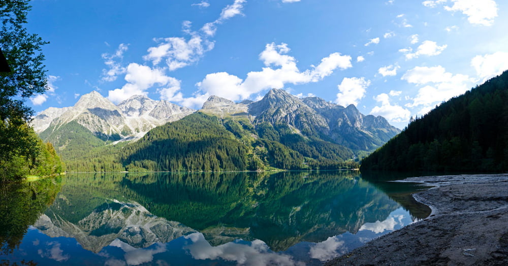
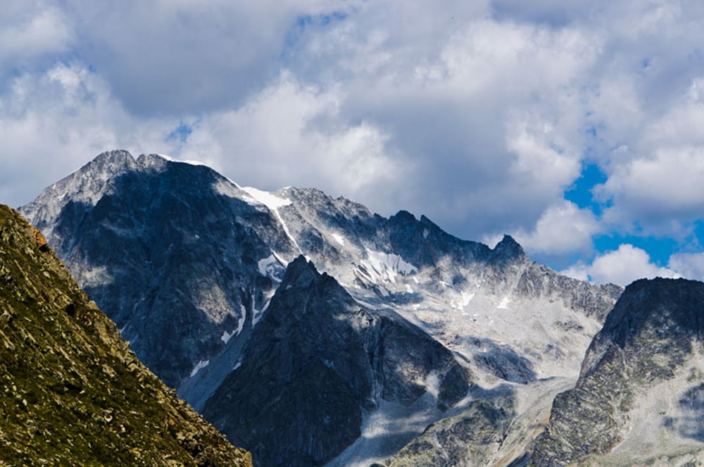
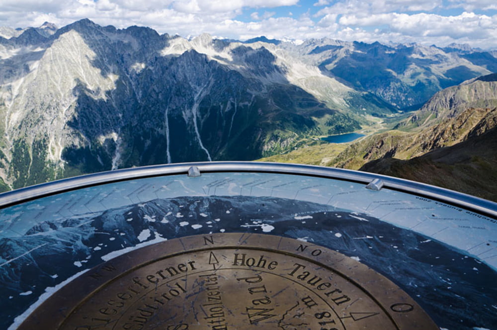
Vom Antholzer See in östlicher Richtung durch Wald hinauf zur Oberen Steinzgeralm. Anschließend entlang des Montalbaches über karges Gelände bis zum Fuß der Antholzer Rotwand. Der Aufstieg zum Gipfelkreuz erfolgt über Geröll und Blockgestein. Auf dem Gipfel der Rotwand liefert ein Panoramatisch die Namen der umliegenden Gipfel des Naturparks Riesenferner Ahrn, der Zillertaler Alpen, der Ötztaler Alpen, des Tauernhauptkammes, der Lienzer Dolomiten, der Karnischen Alpen und der Dolomiten. Der Abstieg erfolgt über Steig Nr. 7 hinunter durch das Agstal zum Staller Sattel und von dort weiter bis zum Ausgangspunkt am Antholzer See.
Further information at
http://www.diewanderer.it/antholzer-tal-rotwand/Tour gallery
Tour map and elevation profile
Minimum height 1596 m
Maximum height 2819 m
More about the tour author

|
dimizu |
Comments

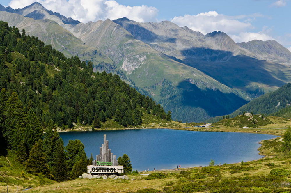
Durch das Pustertal hindurch ins Antholzer Tal (Richtung Staller Sattel, Grenzübergang zu Österreich) bis zum Antholzer See, wo es auch genügend Stellplätze für PKW gibt.
GPS tracks
Trackpoints-
GPX / Garmin Map Source (gpx) download
-
TCX / Garmin Training Center® (tcx) download
-
CRS / Garmin Training Center® (crs) download
-
Google Earth (kml) download
-
G7ToWin (g7t) download
-
TTQV (trk) download
-
Overlay (ovl) download
-
Fugawi (txt) download
-
Kompass (DAV) Track (tk) download
-
Track data sheet (pdf) download
-
Original file of the author (gpx) download
More about the tour author
|
|
dimizu |
Add to my favorites
Remove from my favorites
Edit tags
Open track
My score
Rate