


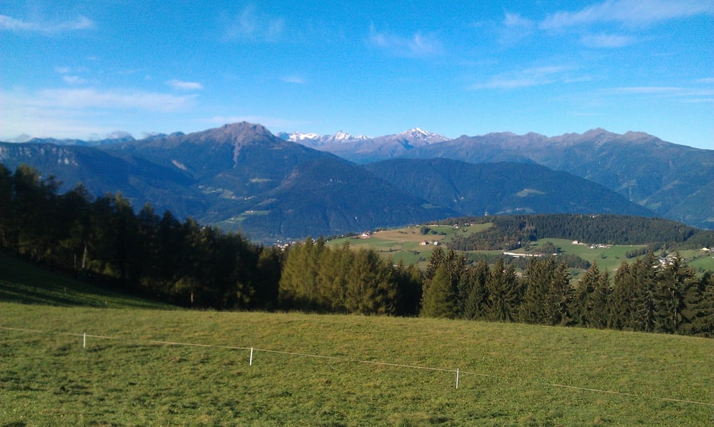
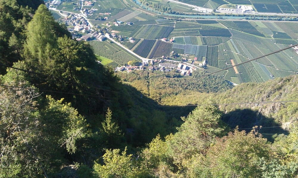
Landschaftlich schöne Tour. Von Schlaneid geht es über Mölten zum Parkplatz Schermoos. Hoch zu Langfenn ( Aussicht ). Danach über Wald- und Wiesenwege zum Tschaufenhaus. Über Verschneid hinunter nach Terlan. In Vilpian fahren wir mit der Gondel ( ca. 5 EUR ) wieder hinauf nach Schlaneid.
Die Angabe zu den Höhenmetern ist ohne Seilbahn gerechnet. Zu fahren sind 600 Höhenmeter. Die Fahrzeit ist ohne Pausen gerechnet.
Tour gallery
Tour map and elevation profile
Minimum height 243 m
Maximum height 1532 m
More about the tour author

|
mareb1972 |
Comments

Ich bin in Schlaneid am Schlaneiderhof gestartet. Gute Startpunkte sind auch
Parkplatz Schermoos, Terlan oder Vilpian.
GPS tracks
Trackpoints-
GPX / Garmin Map Source (gpx) download
-
TCX / Garmin Training Center® (tcx) download
-
CRS / Garmin Training Center® (crs) download
-
Google Earth (kml) download
-
G7ToWin (g7t) download
-
TTQV (trk) download
-
Overlay (ovl) download
-
Fugawi (txt) download
-
Kompass (DAV) Track (tk) download
-
Track data sheet (pdf) download
-
Original file of the author (gpx) download
More about the tour author
|
|
mareb1972 |
Add to my favorites
Remove from my favorites
Edit tags
Open track
My score
Rate