Login

Forgotten password?

Cookies have to be accepted!
Your browser's cookie functionality is disabled. Please enable this functionality.

Not a member yet?

Register now
Login

Available for registred users only

Log in to use this feature.

Forgotten password?

Cookies have to be accepted!
Your browser's cookie functionality is disabled. Please enable this functionality.

Not a member yet?

Register now
Filter
Categories
Advanced filters
  • Distance (km)
  • Height
Save filters Reset filter

TrackRank

QRCode

Technical data

Distance163,0 km Height2513 m Way down2508 m Duration09:09 h:m Date16.10.2011
Scores Author Landscape Fun factor Fitness Technique

Statistics

99 Views Scores 5 Downloads Average
Rate
  • Track data sheet
  • Directions
  • Downloads
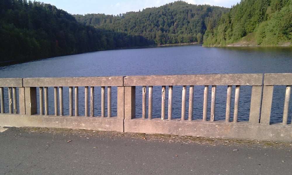
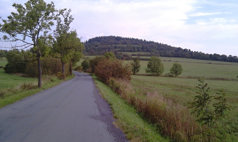
Super trešnicka na letošním cyklodortu, až na ten zk.....ý vítr. Hrůza, brutální dřina úplně zbytečne. Ale jinak paráda...

Further information at

http://www.gps-sport.net/trainings/Vyskovice-Praded-St.-Techanovice_687329

Tour gallery

Tour map and elevation profile

  • Open Street Map
  • Google
Minimum height 407 m 
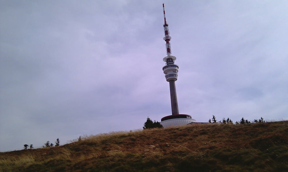
Maximum height 1489 m Detailed view

More about the tour author

maaartens
Member since 2011

Send private message

Comments

GPS tracks

Trackpoints
  • GPX / Garmin Map Source (gpx) download
  • TCX / Garmin Training Center® (tcx) download
  • CRS / Garmin Training Center® (crs) download
  • Google Earth (kml) download
  • G7ToWin (g7t) download
  • TTQV (trk) download
  • Overlay (ovl) download
  • Fugawi (txt) download
  • Kompass (DAV) Track (tk) download
  • Track data sheet (pdf) download
  • Original file of the author (gpx) download

More about the tour author

maaartens
Member since 2011

Send private message
Share track
Add to my favorites
Remove from my favorites
Edit tags
My score
Rate
Track: Výškovice-Praděd- Staré Těchanovice
Type: Mountain bike
Distance: 163,0 km
Evaluated on:
Duration:
Day(s)
Hour(s)
Minute(s)
Score: Landscape Fun factor Fitness Technique