Login

Forgotten password?

Cookies have to be accepted!
Your browser's cookie functionality is disabled. Please enable this functionality.

Not a member yet?

Register now
Login

Available for registred users only

Log in to use this feature.

Forgotten password?

Cookies have to be accepted!
Your browser's cookie functionality is disabled. Please enable this functionality.

Not a member yet?

Register now
Filter
Categories
Advanced filters
  • Distance (km)
  • Height
Save filters Reset filter

TrackRank

QRCode

Technical data

Distance41,6 km Height781 m Way down787 m Duration00:00 h:m Date22.10.2011
Scores Author Landscape Fun factor Fitness Technique

Statistics

2607 Views Scores 52 Downloads Average
Rate
  • Track data sheet
  • Directions
  • Downloads
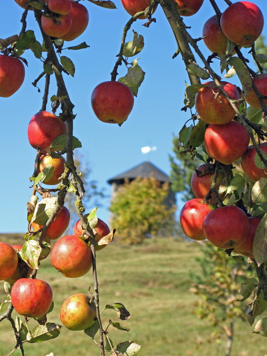
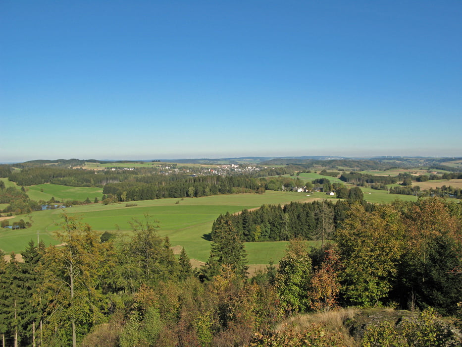
3 schöne Rundwanderwege, 2* Startpunkt Bad Steben nahe der Therme, einmal eine Station mit dem Zug fahren (Achtung, gleich Halt markieren).

Tour gallery

Tour map and elevation profile

  • Open Street Map
  • Google
Minimum height 428 m Maximum height 683 m Detailed view

More about the tour author

Baron_Boris
Member since 2011

Send private message

Comments

GPS tracks

Trackpoints
  • GPX / Garmin Map Source (gpx) download
  • TCX / Garmin Training Center® (tcx) download
  • CRS / Garmin Training Center® (crs) download
  • Google Earth (kml) download
  • G7ToWin (g7t) download
  • TTQV (trk) download
  • Overlay (ovl) download
  • Fugawi (txt) download
  • Kompass (DAV) Track (tk) download
  • Track data sheet (pdf) download
  • Original file of the author (gpx) download

More about the tour author

Baron_Boris
Member since 2011

Send private message
Share track
Add to my favorites
Remove from my favorites
Edit tags
My score
Rate
Track: Frankenwald, Bad Steben - 3 Rundwege
Type: Hiking
Distance: 41,6 km
Evaluated on:
Duration:
Day(s)
Hour(s)
Minute(s)
Score: Landscape Fun factor Fitness Technique