


23.10.2011
Entspricht in etwa unserer Tour vom 24.10.2010 (gps-tour 70071).
Nur anstatt der steilen Abfahrt von Testico nach Garlenda, diesmal über die Straße. Ein kurzes Stück ist allerdings für Radfahrer verboten, wahrscheinlich wegen Steinschlaggefahr. Auch die Auffahrt ging diesmal über San Damiano, d.h. etwas kürzer als über Testico, dafür aber auch geringfügig steiler, so dass wir ein paar mal schieben mussten.
Una Variatione del tour no. 70071 senza il sentiero da Testico a Garlenda.
Attentione: un parte corta della strade e vietato per bici, ma noi potuto andara piu comodo come via il sentiero.
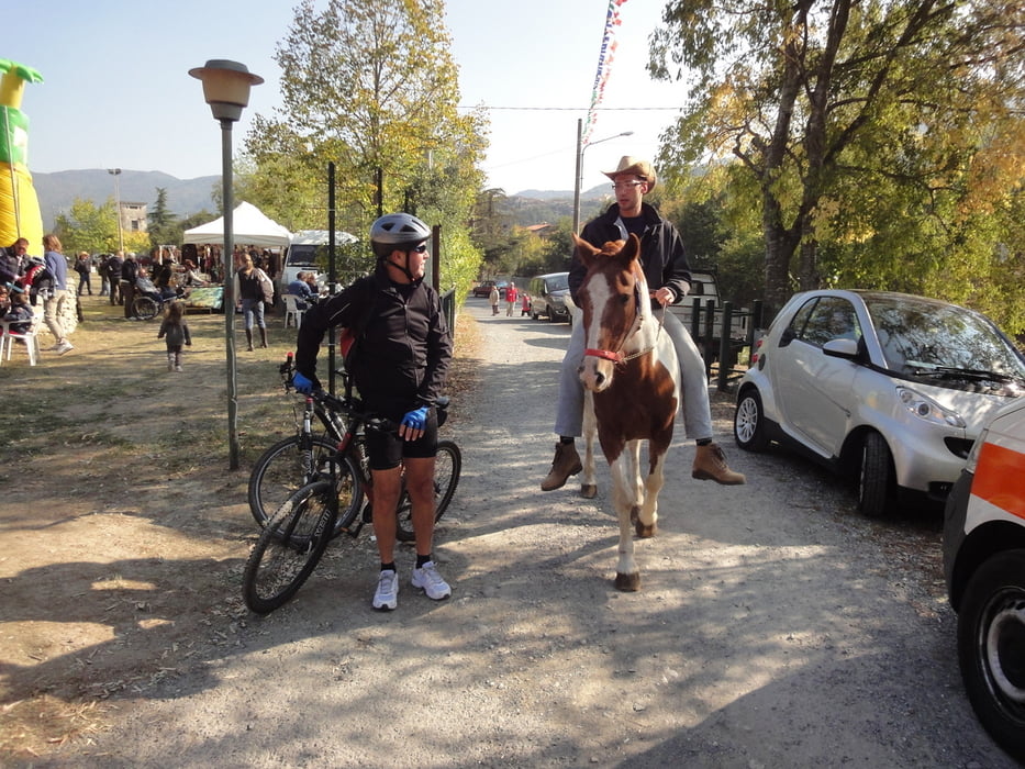
Tour gallery
Tour map and elevation profile
Minimum height 6 m
Maximum height 447 m
More about the tour author
|
|
GuenterM |
Comments

GPS tracks
Trackpoints-
GPX / Garmin Map Source (gpx) download
-
TCX / Garmin Training Center® (tcx) download
-
CRS / Garmin Training Center® (crs) download
-
Google Earth (kml) download
-
G7ToWin (g7t) download
-
TTQV (trk) download
-
Overlay (ovl) download
-
Fugawi (txt) download
-
Kompass (DAV) Track (tk) download
-
Track data sheet (pdf) download
-
Original file of the author (gpx) download
More about the tour author
|
|
GuenterM |
Add to my favorites
Remove from my favorites
Edit tags
Open track
My score
Rate