


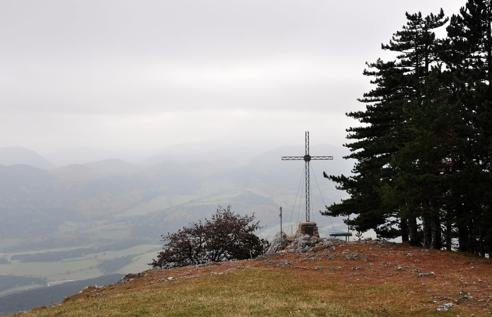
Von der Kleinen Kanzel zum höchsten Punkt der Hohen Wand, dem Packles, danach über die die Große Kanzel, Turmsteighütte zurück zur Kleinen Kanzel.
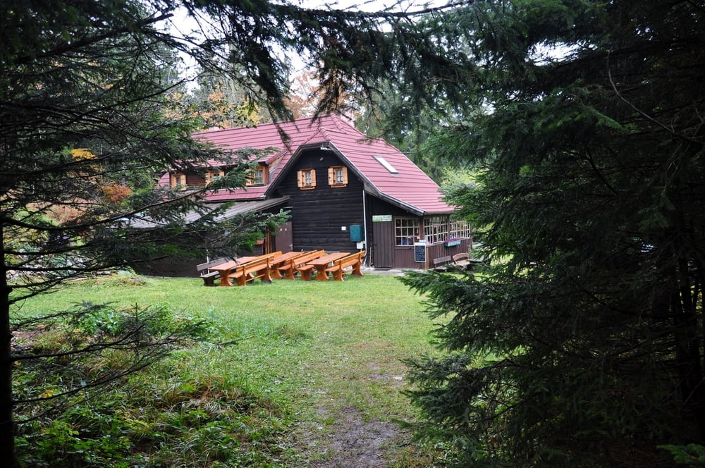
Die Turmsteighütte ist sehr empfehlenswert, urig mit ausgezeichneter Küche vor allem das "Pfandl nach Fritzi" - eine Spezialität der Hüttenwirtin.
Leider hat sich die erhoffte Sonne kaum gezeigt und die meiste Zeit mussten wir im Nebel wandern.
Tourdatum 29.10.2011
Alle Fotos siehe Link
Further information at
https://skydrive.live.com/?sc=photos&cid=dff63ce9c39979fe#!/?cid=dff63ce9c39979fe&sc=photos&uc=23&id=DFF63CE9C39979FE%214620Tour gallery

Tour map and elevation profile
Minimum height 945 m
Maximum height 1127 m
More about the tour author

|
Herbiy |
Comments

GPS tracks
Trackpoints-
GPX / Garmin Map Source (gpx) download
-
TCX / Garmin Training Center® (tcx) download
-
CRS / Garmin Training Center® (crs) download
-
Google Earth (kml) download
-
G7ToWin (g7t) download
-
TTQV (trk) download
-
Overlay (ovl) download
-
Fugawi (txt) download
-
Kompass (DAV) Track (tk) download
-
Track data sheet (pdf) download
-
Original file of the author (gpx) download
More about the tour author
|
|
Herbiy |
Add to my favorites
Remove from my favorites
Edit tags
Open track
My score
Rate