Login

Forgotten password?

Cookies have to be accepted!
Your browser's cookie functionality is disabled. Please enable this functionality.

Not a member yet?

Register now
Login

Available for registred users only

Log in to use this feature.

Forgotten password?

Cookies have to be accepted!
Your browser's cookie functionality is disabled. Please enable this functionality.

Not a member yet?

Register now
Filter
Categories
Advanced filters
  • Distance (km)
  • Height
Save filters Reset filter

TrackRank

QRCode

Technical data

Distance88,7 km Height603 m Way down560 m Duration05:08 h:m Date01.11.2011
Scores Author Landscape Fun factor Fitness Technique

Statistics

145 Views Scores 12 Downloads Average
Rate
  • Track data sheet
  • Directions
  • Downloads
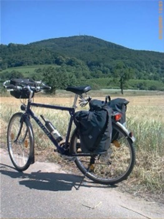
Eine schöne Tagestour. Es handelt sich um einen Rundkurs. Es gibt auch ein paar Steigungen, ggf. muß man halt absteigen. der überwiegende Teil ist flach.

Further information at

http://www.biketripps.de

Tour map and elevation profile

  • Open Street Map
  • Google
Minimum height 63 m Maximum height 365 m Detailed view

More about the tour author

JN
Member since 2009

Send private message

Comments

GPS tracks

Trackpoints
  • GPX / Garmin Map Source (gpx) download
  • TCX / Garmin Training Center® (tcx) download
  • CRS / Garmin Training Center® (crs) download
  • Google Earth (kml) download
  • G7ToWin (g7t) download
  • TTQV (trk) download
  • Overlay (ovl) download
  • Fugawi (txt) download
  • Kompass (DAV) Track (tk) download
  • Track data sheet (pdf) download
  • Original file of the author (gpx) download

More about the tour author

JN
Member since 2009

Send private message
Share track
Add to my favorites
Remove from my favorites
Edit tags
My score
Rate
Track: 2011 Rundtour in Südhessen
Type: Trekkingbike
Distance: 88,7 km
Evaluated on:
Duration:
Day(s)
Hour(s)
Minute(s)
Score: Landscape Fun factor Fitness Technique