Login

Forgotten password?

Cookies have to be accepted!
Your browser's cookie functionality is disabled. Please enable this functionality.

Not a member yet?

Register now
Login

Available for registred users only

Log in to use this feature.

Forgotten password?

Cookies have to be accepted!
Your browser's cookie functionality is disabled. Please enable this functionality.

Not a member yet?

Register now
Filter
Categories
Advanced filters
  • Distance (km)
  • Height
Save filters Reset filter

TrackRank

QRCode

Technical data

Distance14,9 km Height152 m Way down166 m Duration03:00 h:m Date03.11.2011
Scores Author Landscape Fun factor Fitness Technique

Statistics

796 Views Scores 159 Downloads Average
Rate
  • Track data sheet
  • Directions
  • Downloads

Wunderschöne leichter Wanderung zum Leuchtturm Punta Mortella. Auf dem Weg immer wieder schöne Badebuchten.

Der erste Teil des Weges ist auch mit einem MTB befahrbar, später aber dann sehr viele Tragestrecken.
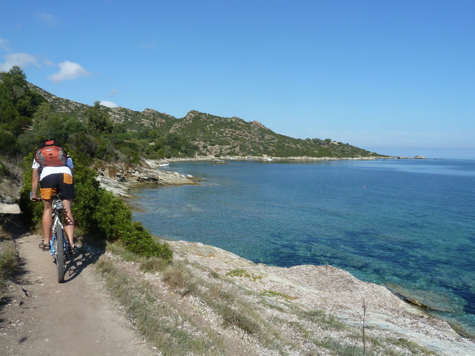
Tour gallery

Tour map and elevation profile

  • Open Street Map
  • Google
Minimum height -3 m Maximum height 45 m Detailed view

More about the tour author

B_Kalli
Member since 2011

Send private message

Comments

Saint-Florent, Straße am Südstrand an den Campingplätzen vorbei, bis zum Ende folgen.

GPS tracks

Trackpoints
  • GPX / Garmin Map Source (gpx) download
  • TCX / Garmin Training Center® (tcx) download
  • CRS / Garmin Training Center® (crs) download
  • Google Earth (kml) download
  • G7ToWin (g7t) download
  • TTQV (trk) download
  • Overlay (ovl) download
  • Fugawi (txt) download
  • Kompass (DAV) Track (tk) download
  • Track data sheet (pdf) download
  • Original file of the author (gpx) download

More about the tour author

B_Kalli
Member since 2011

Send private message
Share track
Add to my favorites
Remove from my favorites
Edit tags
My score
Rate
Track: Punta Mortella - Korsika
Type: Hiking
Distance: 14,9 km
Evaluated on:
Duration:
Day(s)
Hour(s)
Minute(s)
Score: Landscape Fun factor Fitness Technique