


Start in Bad Wurzach/Eintürnen.
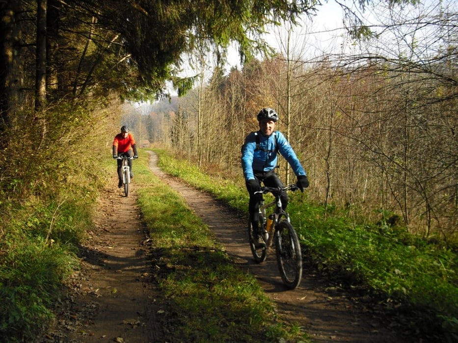
Über Altann kommen wir meist auf Schotterwegen zur Wolfegger Ach. Weiter über Bergatreute, Roßberg kommen wir auf den HW4 und auf den Moräne-Höhenzug bei Bad Waldsee und Haisterkirch. Hier gibts einige schöne Trails die aber einfach zu fahren sind. Weiter über Hittelkofen gehts nun zur Sebastianskapelle und nach Haidgau. Vorbei am Rohrsee kommen wir zurück nach Eintürnen.
Further information at
http://www.tor-zum-allgaeu.deTour gallery
Tour map and elevation profile
Minimum height 534 m
Maximum height 760 m
More about the tour author
|
|
Bockrider |
Comments

Start an der L317 in Eintürnen. Die Tour kann auch ab Bad Waldsee oder in Wolfegg gestartet werden.
GPS tracks
Trackpoints-
GPX / Garmin Map Source (gpx) download
-
TCX / Garmin Training Center® (tcx) download
-
CRS / Garmin Training Center® (crs) download
-
Google Earth (kml) download
-
G7ToWin (g7t) download
-
TTQV (trk) download
-
Overlay (ovl) download
-
Fugawi (txt) download
-
Kompass (DAV) Track (tk) download
-
Track data sheet (pdf) download
-
Original file of the author (gpx) download
More about the tour author
|
|
Bockrider |
Add to my favorites
Remove from my favorites
Edit tags
Open track
My score
Rate