


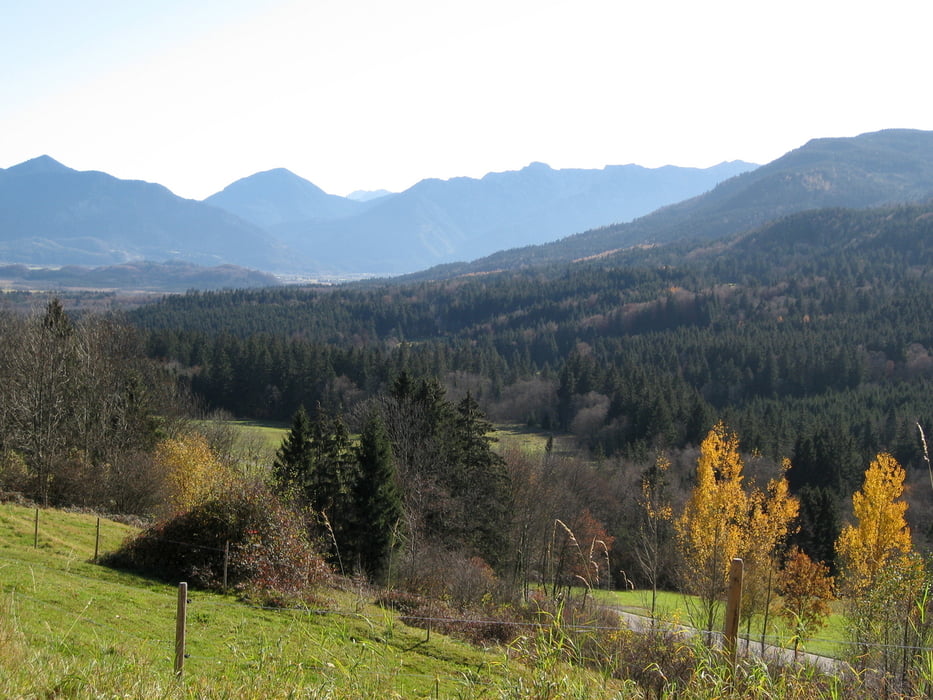
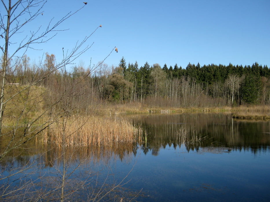
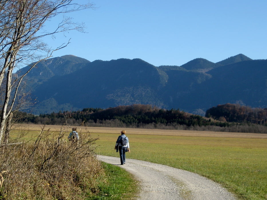
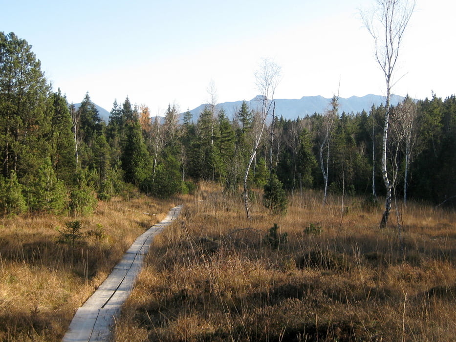
Vom Bahnhof in Bad Kohlgrub gehen wir entlang den Gleisen bis zur Steigrainer Straße. Kurz hinter Steigrain biegen wir nach links in einen Weg ab, der über Wiesen mit schönen Aussichten auf die Alpenkette bis zum Jägerhaus führt. Beim Jägerhaus queren wir die Bahngleise und die Murnauer Straße und wandern die Mühlstraße hinunter bis an den Lindenbach. Wir gehen am Bach entlang durch ein großes Waldgebiet und kommen auf die Straße "Am Reutte". Wir kreuzen die Aschauer Straße und wandern am Lindenbach entlang durchs Murnauer Moos. Schließlich überqueren den Lindenbach und erreichen den Bohlenweg durchs Murnauer Moos, der uns über den Langen Filz und die Moosrainer Straße zum Bahnhof Grafenaschau bringt.
Tour gallery
Tour map and elevation profile
Minimum height 620 m
Maximum height 850 m
More about the tour author

|
frank_guenther |
Comments

Startpunkt der Wanderung ist der Bahnhof in Bad Kohlgrub.
GPS tracks
Trackpoints-
GPX / Garmin Map Source (gpx) download
-
TCX / Garmin Training Center® (tcx) download
-
CRS / Garmin Training Center® (crs) download
-
Google Earth (kml) download
-
G7ToWin (g7t) download
-
TTQV (trk) download
-
Overlay (ovl) download
-
Fugawi (txt) download
-
Kompass (DAV) Track (tk) download
-
Track data sheet (pdf) download
-
Original file of the author (gpx) download
More about the tour author
|
|
frank_guenther |
Add to my favorites
Remove from my favorites
Edit tags
Open track
My score
Rate