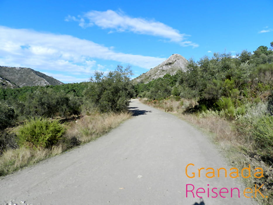
Das Hinterland von Marbella, Sierra Blanca: Ein sehr schöner Spaziergang, auch für Kinder geeignet, wenn man sich einmal die Costa del Sol bei Marbella von oben anschauen möchte. Die beschriebene Route führ zu zwei Ausichtsplätzen (Mirador del Macho Montés und Mirador del Corzo) mit einen sagenhaften Weitblick über die Costa del Sol und das Umland. Der Weg dorthin führt durch eine vielfältige Landschaft. Man findet hier u.a. wilde Orchideen und die seltene spanische Igeltanne (Pinsapo). Im Hotel Refugio El Juanar bekommt man für 3,50 eine Wanderkarte der Gegend mit einigen interessanten Wanderwegen.
Further information at
http://reisefuehrer.andalusien-urlaub.eu/?p=793Tour gallery
Tour map and elevation profile
Minimum height 804 m
Maximum height 910 m
Comments

Von Marbella kommend die A355 Richtung Ojén, Coin fahren, nach Ojén kommt links eine Abzweigung "Refugio El Juanar", dieser Strasse ca. 5 km folgen. Das Auto könnte Ihr unterhalb des Hotels abstellen. Ab da geht es zu Fuß weiter.
GPS tracks
Trackpoints-
GPX / Garmin Map Source (gpx) download
-
TCX / Garmin Training Center® (tcx) download
-
CRS / Garmin Training Center® (crs) download
-
Google Earth (kml) download
-
G7ToWin (g7t) download
-
TTQV (trk) download
-
Overlay (ovl) download
-
Fugawi (txt) download
-
Kompass (DAV) Track (tk) download
-
Track data sheet (pdf) download
-
Original file of the author (gpx) download
Add to my favorites
Remove from my favorites
Edit tags
Open track
My score
Rate


