


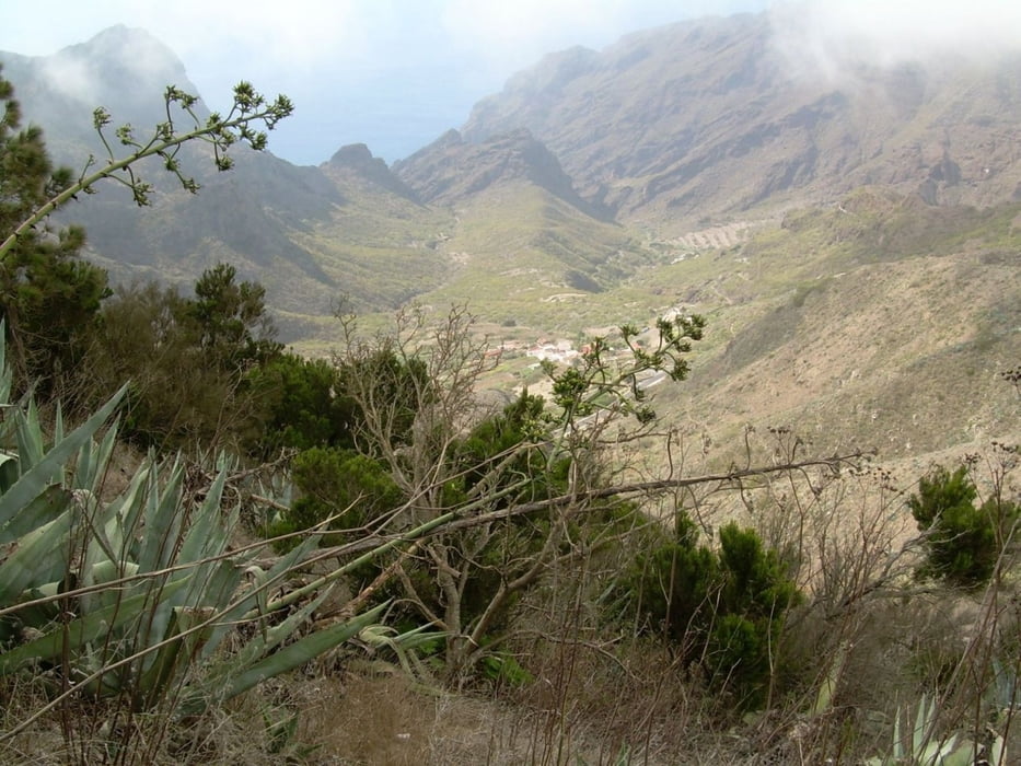
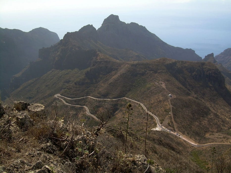
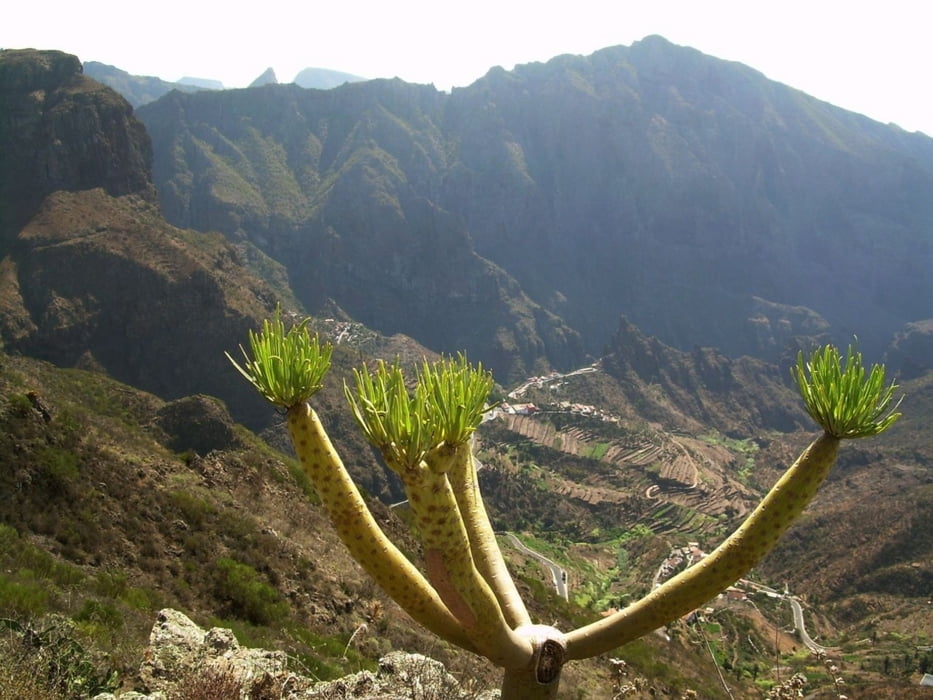
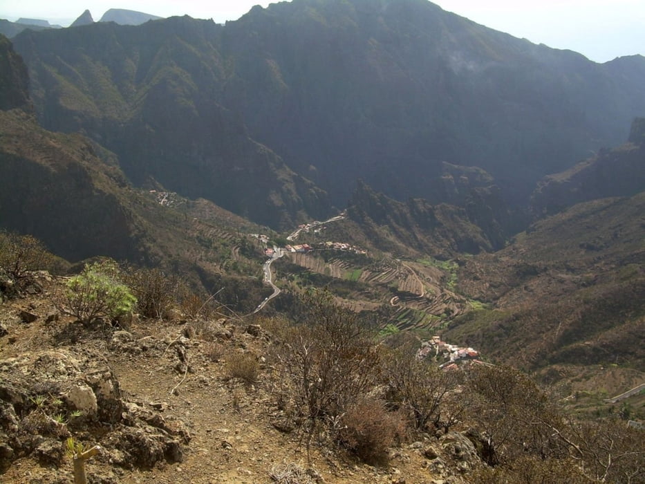
Die Tour geht über die Höhen entlang der Wetterscheide zwischen Süd- und Nord-Teneriffa, oberhalb von Masca.
Natürlich haben Sie eine grandiose Aussicht.
Jeweils am Start- und Endpunkt, gibt es eine Bushaltestelle.
Viel Spaß
Further information at
http://www.wandern-in-wuppertal.deTour gallery
Tour map and elevation profile
Minimum height 684 m
Maximum height 1250 m
More about the tour author

|
Uerigefan |
Comments

Startpunkt ist eine Bushaltestelle oberhalb von Erjos an der TF 82.
Endpunkt ist der Ort Las Portelas, an der TF 436, mit Einkehrmöglichkeit und Bushaltestelle.
GPS tracks
Trackpoints-
GPX / Garmin Map Source (gpx) download
-
TCX / Garmin Training Center® (tcx) download
-
CRS / Garmin Training Center® (crs) download
-
Google Earth (kml) download
-
G7ToWin (g7t) download
-
TTQV (trk) download
-
Overlay (ovl) download
-
Fugawi (txt) download
-
Kompass (DAV) Track (tk) download
-
Track data sheet (pdf) download
-
Original file of the author (gpx) download
More about the tour author
|
|
Uerigefan |
Add to my favorites
Remove from my favorites
Edit tags
Open track
My score
Rate