


Dieser Rundweg startet am Stationsberg Parkplatz ehm. Truppenübungsplatz der Amis.
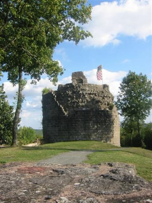
Von hier aus folgen wir den Weg zur Ruine Boden Laube. Hier geht der Weg weiter zum Terassen Schwimbad in Bad Kissingen. Nun folgen wir den Bahngleisen bis zur Eiringsburg.
Der Rückweg führt am Golf Platz vorbei zum Bauhof in Bad Kissingen. Hier laufen wir zum Sportpark und unter der Brücke hindurch zum Campingplatz. Dann geht es durch den Kuhrpark wieder zurück zum Ausgangspunkt.
Tour gallery


Tour map and elevation profile
Minimum height 195 m
Maximum height 337 m
More about the tour author
|
|
maffy |
Comments

GPS tracks
Trackpoints-
GPX / Garmin Map Source (gpx) download
-
TCX / Garmin Training Center® (tcx) download
-
CRS / Garmin Training Center® (crs) download
-
Google Earth (kml) download
-
G7ToWin (g7t) download
-
TTQV (trk) download
-
Overlay (ovl) download
-
Fugawi (txt) download
-
Kompass (DAV) Track (tk) download
-
Track data sheet (pdf) download
-
Original file of the author (gpx) download
More about the tour author
|
|
maffy |
Add to my favorites
Remove from my favorites
Edit tags
Open track
My score
Rate