Login

Forgot your login?

Cookies have to be accepted!
Your browser's cookie functionality is disabled. Please enable this functionality.

Not a member yet?

Register now
Login

Available for registred users only

Log in to use this feature.

Forgot your login?

Cookies have to be accepted!
Your browser's cookie functionality is disabled. Please enable this functionality.

Not a member yet?

Register now
Filter
Categories
Advanced filters
  • Distance (km)
  • Height
Save filters Reset filter

TrackRank

QRCode

Technical data

Distance73,2 km Height1656 m Way down1664 m Duration05:40 h:m Date01.12.2011
Scores Author Landscape Fun factor Fitness Technique

Statistics

352 Views Scores 25 Downloads Average
Rate
  • Track data sheet
  • Directions
  • Downloads


Spittal-Fellbach-Nähe Alm hinterm Brunn-Zihagas-
unterm Latschur-Techendorfer Alm-Ortsee-Zlan-Spittal


zu viel Asphalt und die Schiebestrecke bis unterm Latschur
gibt auch Abzüge. Dafür landschaftlich großartig mit neuen
Ausblicken auf den See.
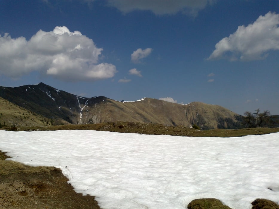
Tour gallery

Tour map and elevation profile

  • Open Street Map
  • Google
Minimum height 538 m Maximum height 1822 m Detailed view

More about the tour author

mitter
Member since 2008

Send private message

Comments

Spittal: Draubrücke Schwaig (nähe Goldeckseilbahn)

GPS tracks

Trackpoints
  • GPX / Garmin Map Source (gpx) download
  • TCX / Garmin Training Center® (tcx) download
  • CRS / Garmin Training Center® (crs) download
  • Google Earth (kml) download
  • G7ToWin (g7t) download
  • TTQV (trk) download
  • Overlay (ovl) download
  • Fugawi (txt) download
  • Kompass (DAV) Track (tk) download
  • Track data sheet (pdf) download
  • Original file of the author (gpx) download

More about the tour author

mitter
Member since 2008

Send private message
Share track
Add to my favorites
Remove from my favorites
Edit tags
My score
Rate
Track: Goldeckumrundung
Type: Mountain bike
Distance: 73,2 km
Evaluated on:
Duration:
Day(s)
Hour(s)
Minute(s)
Score: Landscape Fun factor Fitness Technique