Login

Forgot your login?

Cookies have to be accepted!
Your browser's cookie functionality is disabled. Please enable this functionality.

Not a member yet?

Register now
Login

Available for registred users only

Log in to use this feature.

Forgot your login?

Cookies have to be accepted!
Your browser's cookie functionality is disabled. Please enable this functionality.

Not a member yet?

Register now
Filter
Categories
Advanced filters
  • Distance (km)
  • Height
Save filters Reset filter

TrackRank

QRCode

Technical data

Distance11,9 km Height214 m Way down209 m Duration03:00 h:m Date10.12.2011
Scores Author Landscape Fun factor Fitness Technique

Statistics

564 Views Scores 11 Downloads Average
Rate
  • Track data sheet
  • Directions
  • Downloads

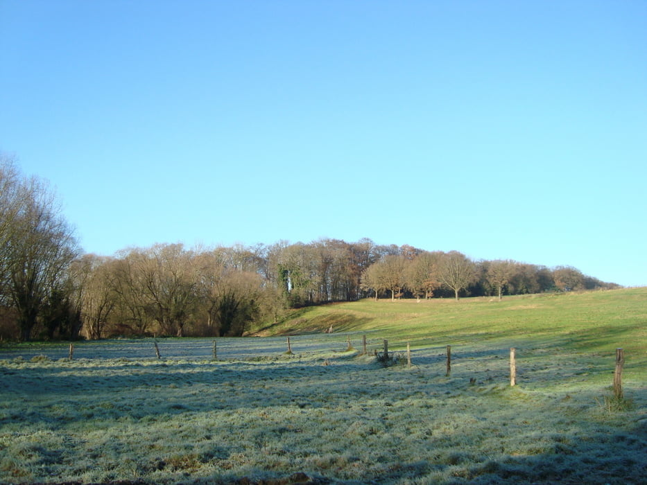
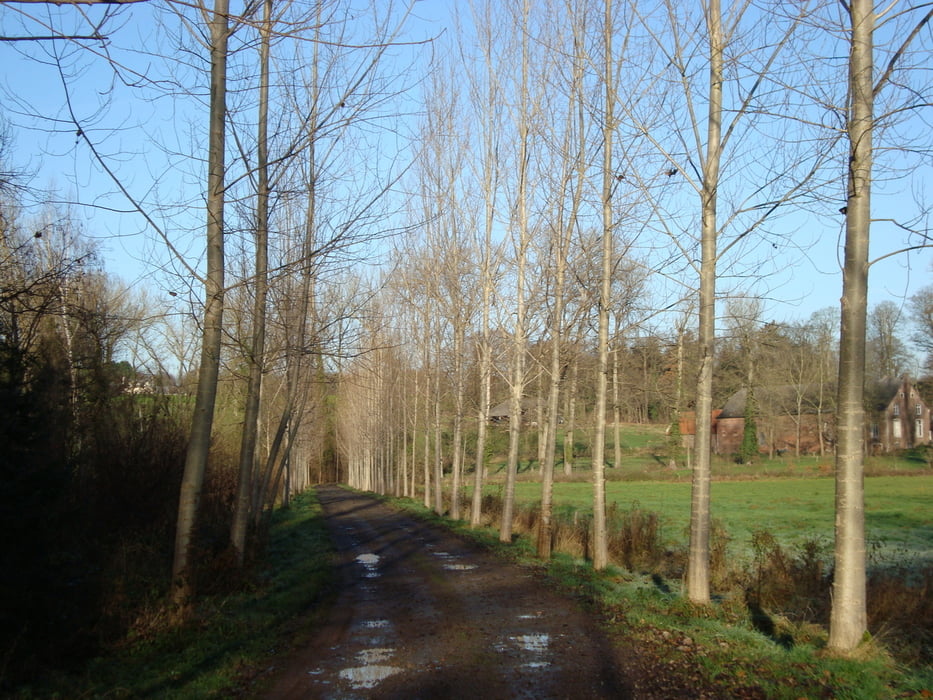
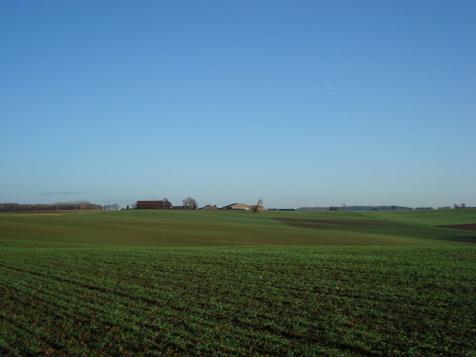
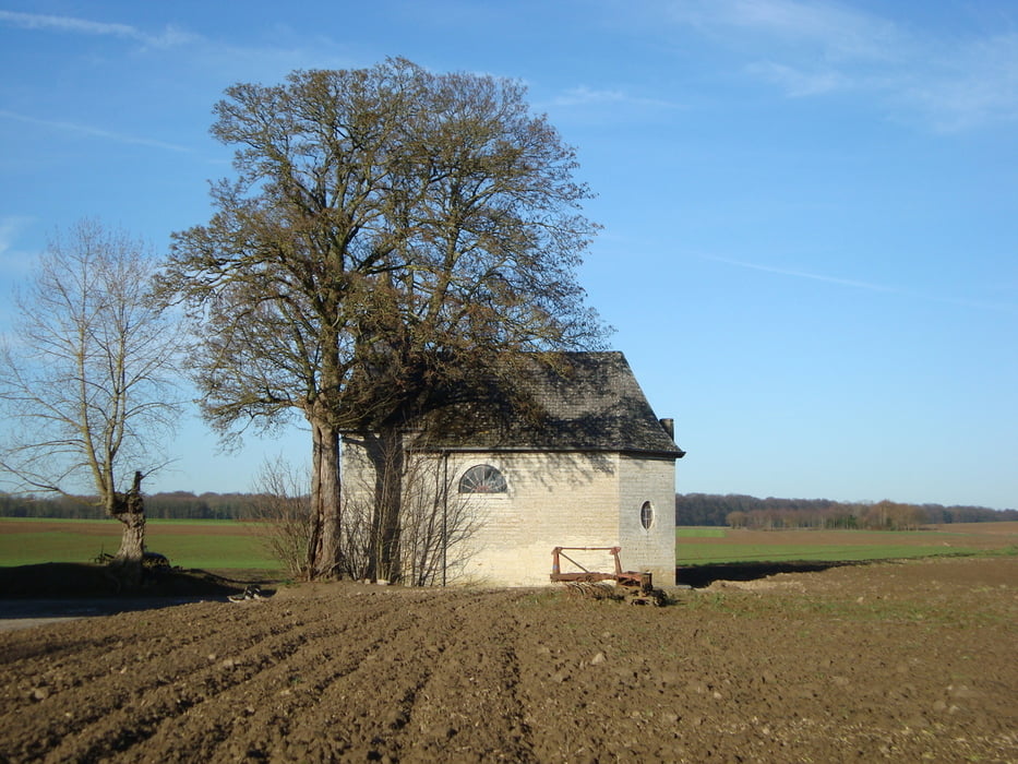
90% bestaat uit kasseiwegen, land en veldwegen.

Het stuk door het bos is niet toegangkelijk voor rolstoelen en kinderwagens, dit stuk kan makkelijk afgesneden worden.

In de herfst kan het hier wel behoorlijk modderig zijn.

Tour gallery

Tour map and elevation profile

  • Open Street Map
  • Google
Minimum height 33 m Maximum height 117 m Detailed view

More about the tour author

ikkel
Member since 2009

Send private message

Comments

Bij slecht weer stevige wandelschoenen aan te raden.

GPS tracks

Trackpoints
  • GPX / Garmin Map Source (gpx) download
  • TCX / Garmin Training Center® (tcx) download
  • CRS / Garmin Training Center® (crs) download
  • Google Earth (kml) download
  • G7ToWin (g7t) download
  • TTQV (trk) download
  • Overlay (ovl) download
  • Fugawi (txt) download
  • Kompass (DAV) Track (tk) download
  • Track data sheet (pdf) download
  • Original file of the author (gpx) download

More about the tour author

ikkel
Member since 2009

Send private message
Share track
Add to my favorites
Remove from my favorites
Edit tags
My score
Rate
Track: Wandelen rond Tourinnes-la-Grosse
Type: Hiking
Distance: 11,9 km
Evaluated on:
Duration:
Day(s)
Hour(s)
Minute(s)
Score: Landscape Fun factor Fitness Technique