Login

Forgotten password?

Cookies have to be accepted!
Your browser's cookie functionality is disabled. Please enable this functionality.

Not a member yet?

Register now
Login

Available for registred users only

Log in to use this feature.

Forgotten password?

Cookies have to be accepted!
Your browser's cookie functionality is disabled. Please enable this functionality.

Not a member yet?

Register now
Filter
Categories
Advanced filters
  • Distance (km)
  • Height
Save filters Reset filter

TrackRank

QRCode

Technical data

Distance8,7 km Height256 m Way down256 m Duration02:00 h:m Date11.12.2011
Scores Author Landscape Fun factor Fitness Technique

Statistics

1291 Views 1 Score 56 Downloads 4.00 Average
Rate
  • Track data sheet
  • Directions
  • Downloads
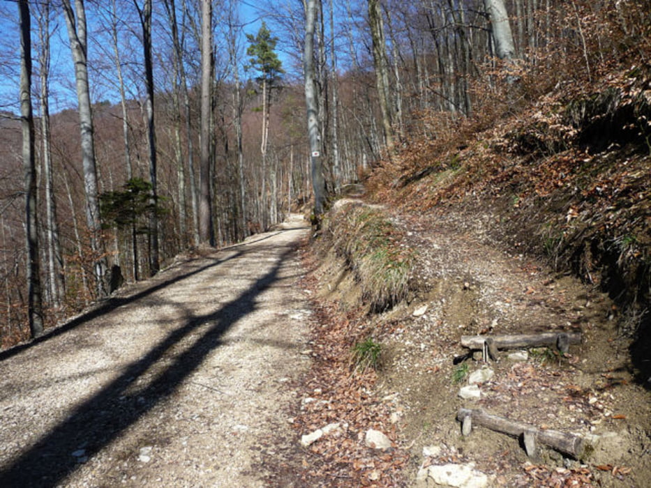
Wanderung an der Albtraufkante von Genkingen zum Bolberg. Diesen Wanderweg gibt es eigendlich nicht, es ist die Kreisgrenze RT - Tü. In der Laublosenzeit tut sich ein Weglein auf, dass dann gewandert werden kann....

Tour gallery

Tour map and elevation profile

  • Open Street Map
  • Google
Minimum height 753 m Maximum height 876 m Detailed view

More about the tour author

WOF_Bikebox
Member since 2010

Send private message

Comments

Wglatthorn on 23.04.2021

Schöne Wanderung

Ist Wanderung in schönem Gelände. Hinweg war super. Beim Rückweg haben wir den angegebenen Weg nicht gefunden. Haben dann eigene Rückroute gefunden.
Stuttgart - Reutlingen - Sonnenbühl-Genkingen - Parkmöglichkeit am ende der Schulstraße oder am Skilift Genkingen

GPS tracks

Trackpoints
  • GPX / Garmin Map Source (gpx) download
  • TCX / Garmin Training Center® (tcx) download
  • CRS / Garmin Training Center® (crs) download
  • Google Earth (kml) download
  • G7ToWin (g7t) download
  • TTQV (trk) download
  • Overlay (ovl) download
  • Fugawi (txt) download
  • Kompass (DAV) Track (tk) download
  • Track data sheet (pdf) download
  • Original file of the author (gpx) download

More about the tour author

WOF_Bikebox
Member since 2010

Send private message
Share track
Add to my favorites
Remove from my favorites
Edit tags
My score
Rate
Track: AlbtraufKante zum Bolberg
Type: Hiking
Distance: 8,7 km
Evaluated on:
Duration:
Day(s)
Hour(s)
Minute(s)
Score: Landscape Fun factor Fitness Technique