


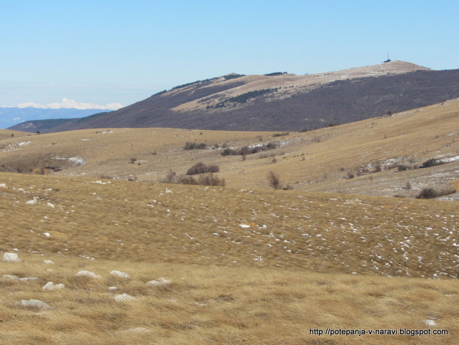
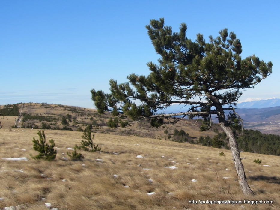
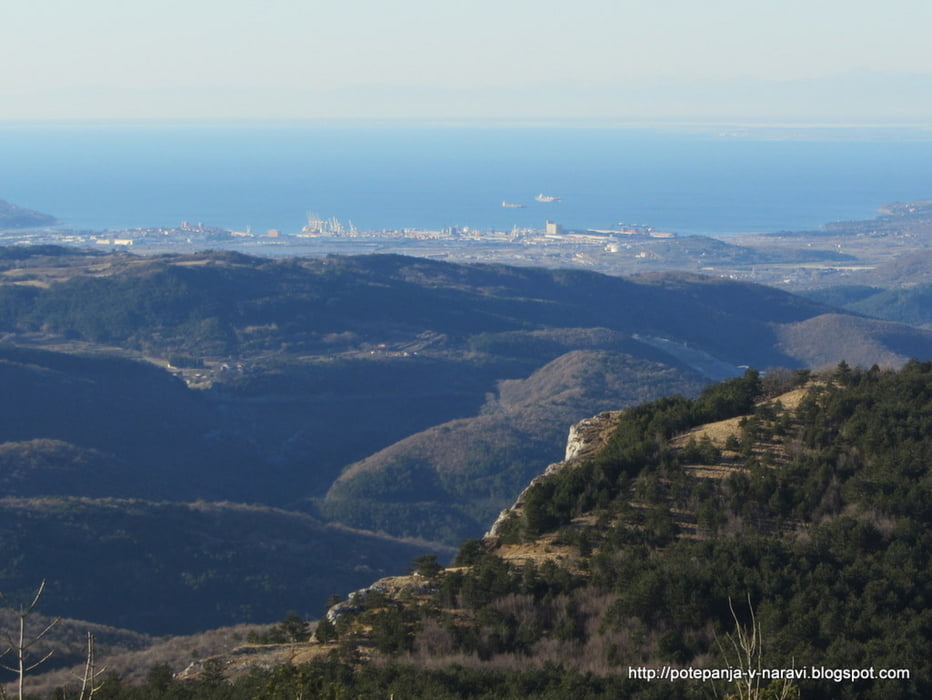
Krožni izlet po kraških travnikih med Zazidom in Podgorjem z izhodiščem v Zazidu, prek Lipnika, Goliča in Kojnika.
Further information at
http://potepanja-v-naravi.blogspot.com/2011/12/lipnik-in-kojnik-iz-zazida.htmlTour gallery

Tour map and elevation profile
Minimum height 359 m
Maximum height 895 m
More about the tour author
|
|
ExAmigan |
Comments

Primorsko avtocesto zapustimo na izvozu za Črni Kal in nadljujemo v smeri Sočerge. Kmalu po tem, ko zapustimo staro cesto proti Kopru zavijemo levo ter skozi Loko Podpeč in nekaj drugih vasi dosežemo Zazid.
GPS tracks
Trackpoints-
GPX / Garmin Map Source (gpx) download
-
TCX / Garmin Training Center® (tcx) download
-
CRS / Garmin Training Center® (crs) download
-
Google Earth (kml) download
-
G7ToWin (g7t) download
-
TTQV (trk) download
-
Overlay (ovl) download
-
Fugawi (txt) download
-
Kompass (DAV) Track (tk) download
-
Track data sheet (pdf) download
-
Original file of the author (gpx) download
More about the tour author
|
|
ExAmigan |
Add to my favorites
Remove from my favorites
Edit tags
Open track
My score
Rate