Login

Forgotten password?

Cookies have to be accepted!
Your browser's cookie functionality is disabled. Please enable this functionality.

Not a member yet?

Register now
Login

Available for registred users only

Log in to use this feature.

Forgotten password?

Cookies have to be accepted!
Your browser's cookie functionality is disabled. Please enable this functionality.

Not a member yet?

Register now
Filter
Categories
Advanced filters
  • Distance (km)
  • Height
Save filters Reset filter

TrackRank

QRCode

Technical data

Distance20,6 km Height510 m Way down527 m Duration01:24 h:m Date31.12.2011
Scores Author Landscape Fun factor Fitness Technique

Statistics

88 Views Scores 4 Downloads Average
Rate
  • Track data sheet
  • Directions
  • Downloads

31.12.2011

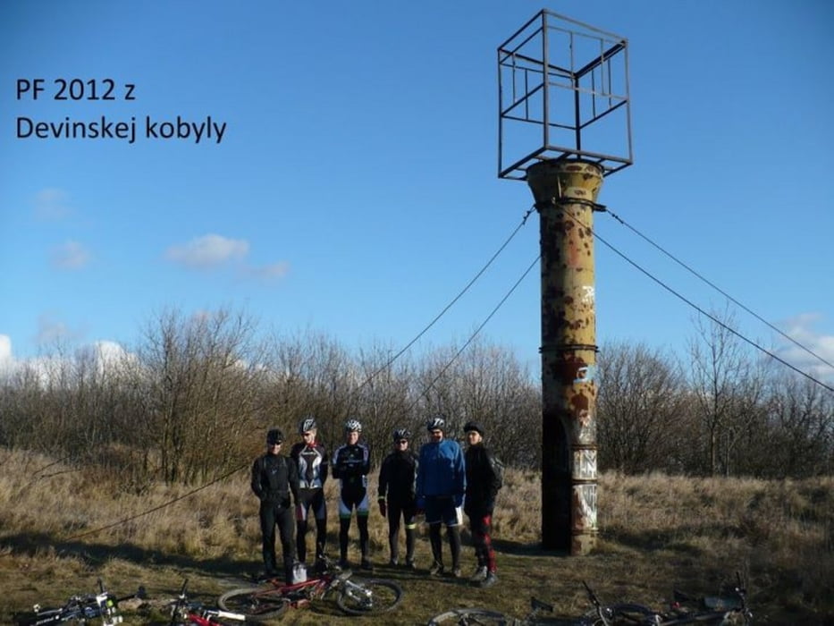
Takýto Silvester si nepamätám - krásne slnečno, prakticky bezvetrie a +5°C. Dali sme v pätici (Roman, Ľubo, Tomáš, Rišo a ja) pojazd po Kobyle, na vrchole sme sa stretli s Milanom. Bolo plno peších. Po dlhej dobe som bol konečne v lese a aj napriek jazde na zimákovi som si to užíval. Super!

Tour map and elevation profile

  • Open Street Map
  • Google
Minimum height 178 m Maximum height 516 m Detailed view

More about the tour author

tmax
Member since 2007

Send private message

Comments

BA-Dlhé Diely

GPS tracks

Trackpoints
  • GPX / Garmin Map Source (gpx) download
  • TCX / Garmin Training Center® (tcx) download
  • CRS / Garmin Training Center® (crs) download
  • Google Earth (kml) download
  • G7ToWin (g7t) download
  • TTQV (trk) download
  • Overlay (ovl) download
  • Fugawi (txt) download
  • Kompass (DAV) Track (tk) download
  • Track data sheet (pdf) download
  • Original file of the author (gpx) download

More about the tour author

tmax
Member since 2007

Send private message
Share track
Add to my favorites
Remove from my favorites
Edit tags
My score
Rate
Track: 20111231_Silvestrovská Kobyla
Type: Mountain bike
Distance: 20,6 km
Evaluated on:
Duration:
Day(s)
Hour(s)
Minute(s)
Score: Landscape Fun factor Fitness Technique