


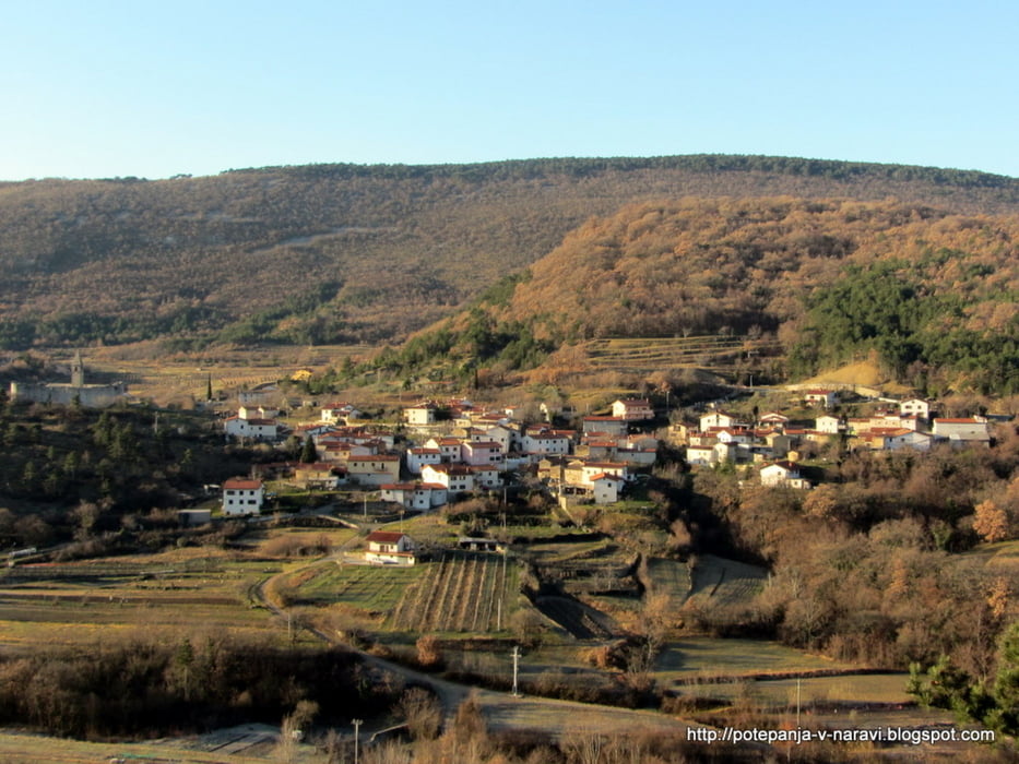
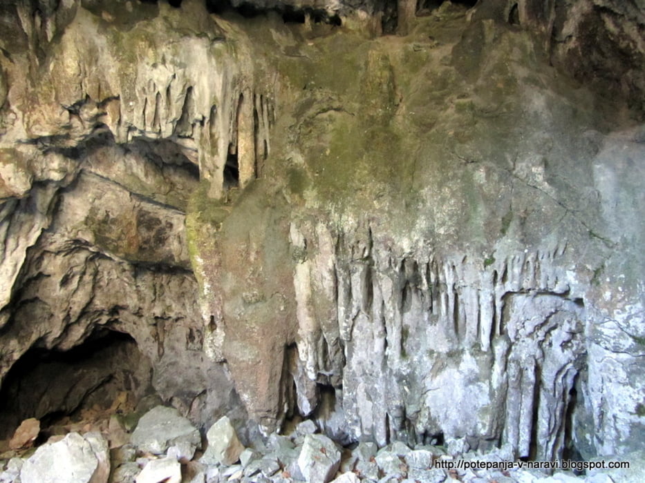
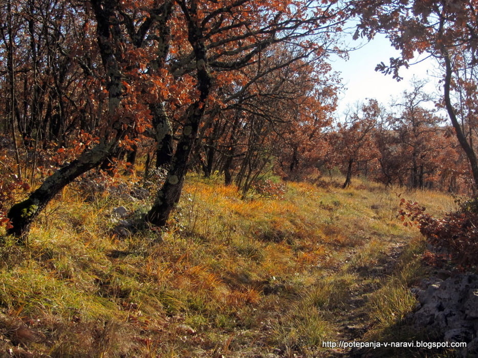
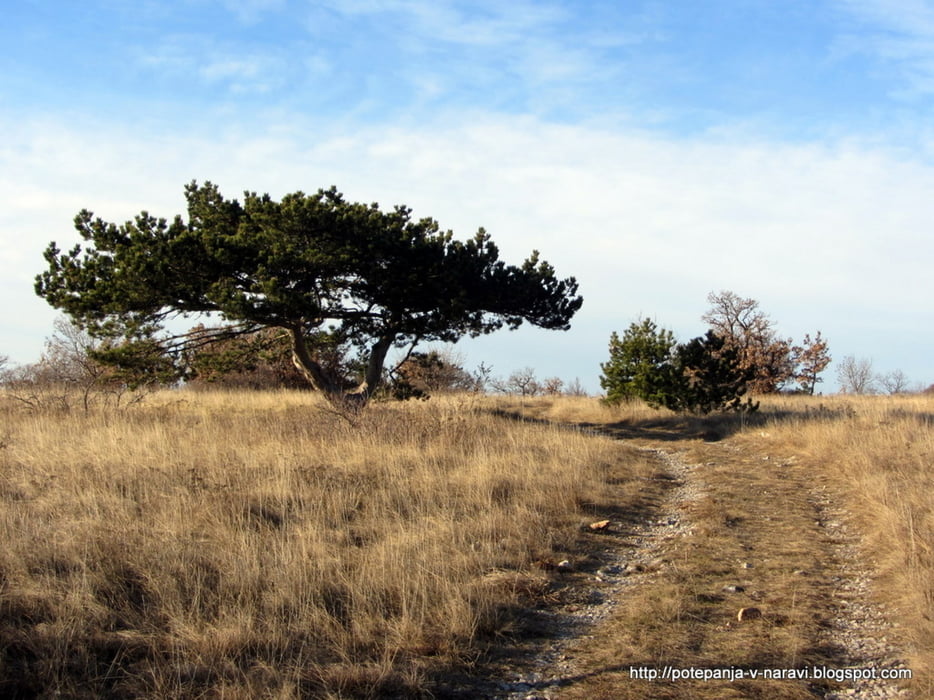
Dolg krožni izlet z izhodiščem v Hrastovljah: vzpon do Zanigrada in naprej do zazida, nato prek Velikega Gradeža mimo jame Tri učke, navzdol do Dvorov, k spodmolom Velega Badina, mimo cerkve Sv. Kvirika ter prek Lačne nazaj v Hrastovlje.
Further information at
http://potepanja-v-naravi.blogspot.com/2012/01/veli-badin-iz-hrastovelj.htmlTour gallery
Tour map and elevation profile
Minimum height 107 m
Maximum height 503 m
More about the tour author
|
|
ExAmigan |
Comments

Primorsko avtocesto zapustimo na izvozu Črni Kal in sledimo kažipotom za Hrastovlje. Avto lahko pustimo na velikem parkirišču v bližini cerkve.
GPS tracks
Trackpoints-
GPX / Garmin Map Source (gpx) download
-
TCX / Garmin Training Center® (tcx) download
-
CRS / Garmin Training Center® (crs) download
-
Google Earth (kml) download
-
G7ToWin (g7t) download
-
TTQV (trk) download
-
Overlay (ovl) download
-
Fugawi (txt) download
-
Kompass (DAV) Track (tk) download
-
Track data sheet (pdf) download
-
Original file of the author (gpx) download
More about the tour author
|
|
ExAmigan |
Add to my favorites
Remove from my favorites
Edit tags
Open track
My score
Rate