Login

Forgot your login?

Cookies have to be accepted!
Your browser's cookie functionality is disabled. Please enable this functionality.

Not a member yet?

Register now
Login

Available for registred users only

Log in to use this feature.

Forgot your login?

Cookies have to be accepted!
Your browser's cookie functionality is disabled. Please enable this functionality.

Not a member yet?

Register now
Filter
Categories
Advanced filters
  • Distance (km)
  • Height
Save filters Reset filter

TrackRank

QRCode

Technical data

Distance15,4 km Height231 m Way down230 m Duration01:05 h:m Date06.01.2012
Scores Author Landscape Fun factor Fitness Technique

Statistics

983 Views Scores 28 Downloads Average
Rate
  • Track data sheet
  • Directions
  • Downloads
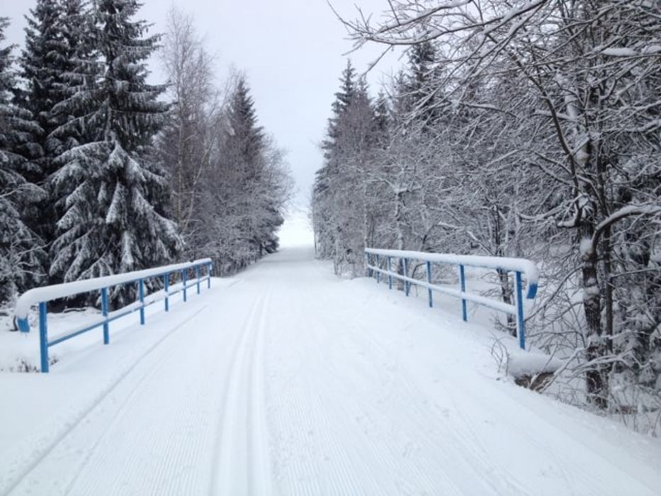
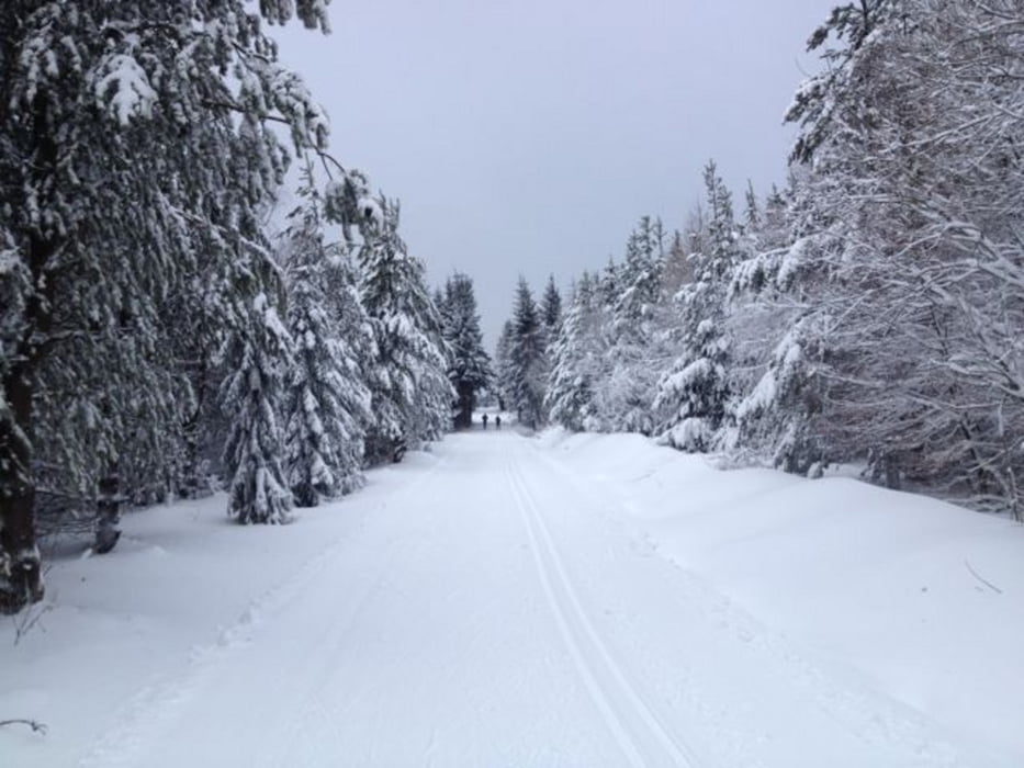
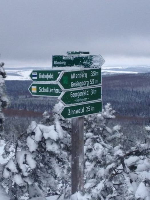
Der GPS-Track ist eine "eigene" Strecke durch das Altenberger bzw. Georgenfelder Loipen- und Wanderwegnetz, wobei ein Großteil der Strecke der "Loipe Kahleberg" entspricht.

Further information at

http://www.wintersport-im-erzgebirge.de/langlauf/osterzgebirge/altenberg.html/

Tour gallery

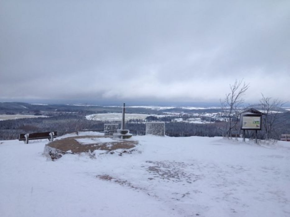
Tour map and elevation profile

  • Open Street Map
  • Google
Minimum height 777 m Maximum height 896 m Detailed view

More about the tour author

joestreich
Member since 2010

Send private message

Comments

Der Loipeneinstieg befindet sich in unmittelbarer Nähe zum kostenpflichtigen Parkplatz am Campingplatz "Kleiner Galgenteich".

GPS tracks

Trackpoints
  • GPX / Garmin Map Source (gpx) download
  • TCX / Garmin Training Center® (tcx) download
  • CRS / Garmin Training Center® (crs) download
  • Google Earth (kml) download
  • G7ToWin (g7t) download
  • TTQV (trk) download
  • Overlay (ovl) download
  • Fugawi (txt) download
  • Kompass (DAV) Track (tk) download
  • Track data sheet (pdf) download
  • Original file of the author (gpx) download

More about the tour author

joestreich
Member since 2010

Send private message
Share track
Add to my favorites
Remove from my favorites
Edit tags
My score
Rate
Track: Galgenteich - Kahleberg - Beerenhütte
Type: Cross-country skiing
Distance: 15,4 km
Evaluated on:
Duration:
Day(s)
Hour(s)
Minute(s)
Score: Landscape Fun factor Fitness Technique